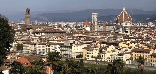
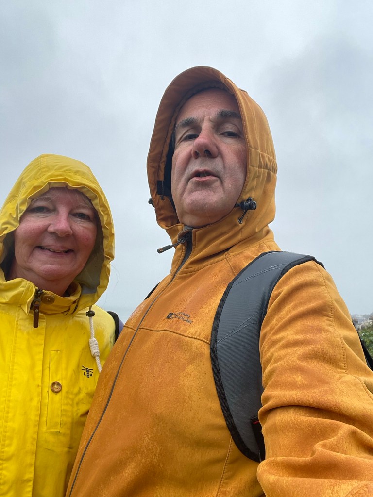
We are now right in the heart of the path so time to post an update on our progress. Before we look closely at each day, a few thoughts on the process overall.
Firstly, I wondered in my previous post about the physical effects of consecutive days walking. Happily, after significant aches and pains up to day four it’s now noticeable that my body is acclimatising to the demands and there are only the slightest residual effects. Also I notice my cardiovascular fitness improving already; I’m much less likely to need to stop and catch my breath on uphill stretches.
Next, it’s been taking longer than anticipated to complete each day. The ‘two car model’ is working well but the driving adds a considerable amount of time to each days walking. At the most far flung reaches it takes over an hour each way to drive, plus the time taken to drive from end to start. And then there’s preparation – making sandwiches and coffee, packing the rucksack, putting sunscreen on (the definition of optimism).
As for preparations, it’s still a bit of a nightmare; I haven’t yet managed a day when I didn’t think at some point ‘I wish I had…’. Whether it’s a layer of clothing, my water bottle, gloves (yes, I feel the cold!)…The weather has continued to throw curveballs, as we shall see in each section below.
Finally, the path itself continues to offer a wide variety of sceneries and surprises. Let’s take a closer look.
Day 4 – Dysart to West Wemyss (2.2 miles) West Wemyss to Buckhaven (3.2 miles) Buckhaven to Methil (1.6 miles) Methil to Leven (1.1 mile) Leven to Lower Largo (2.7 miles)
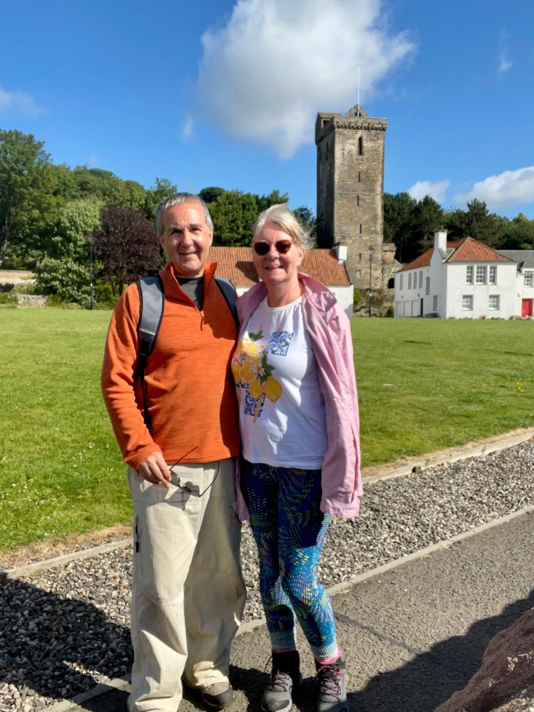
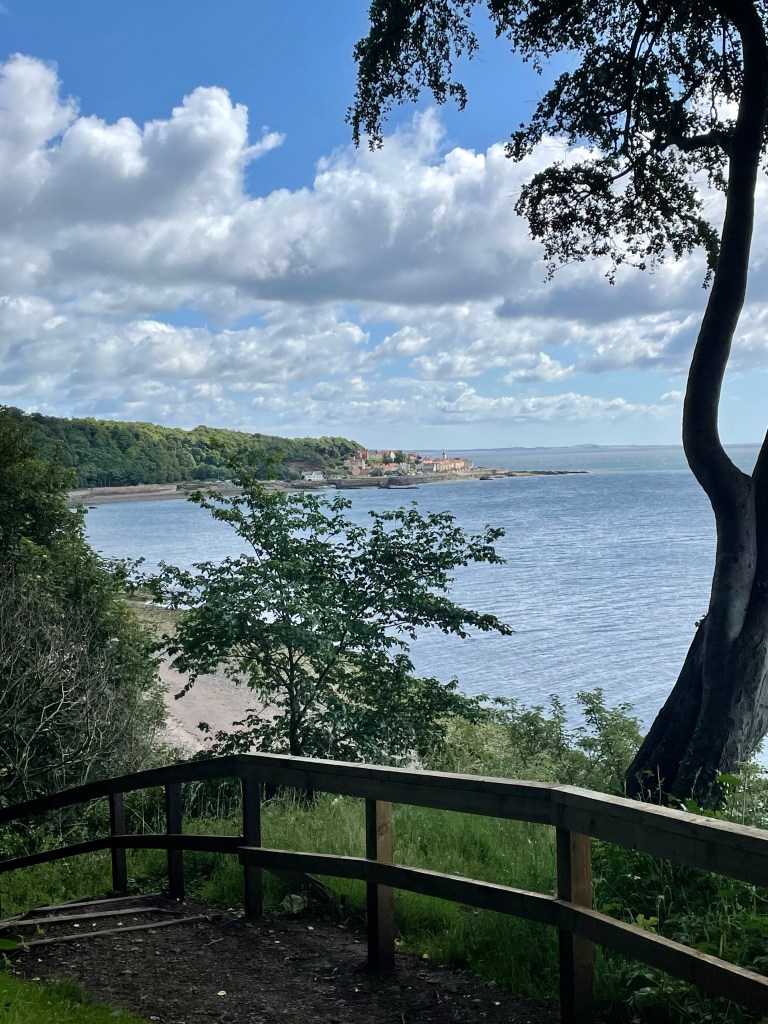
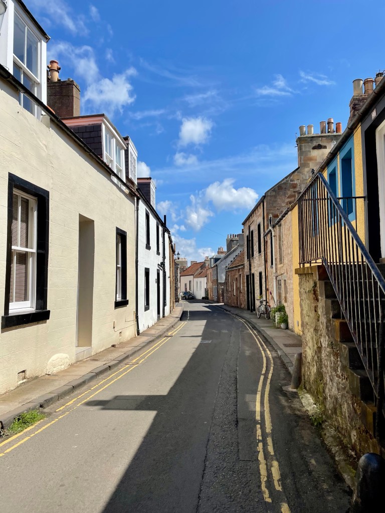
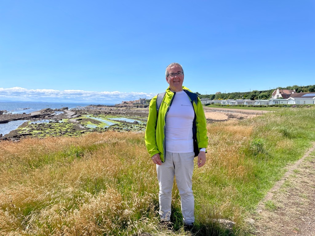
It was a delight to return to beautiful Dysart. The weather was holding fair but the forecast made no promises.
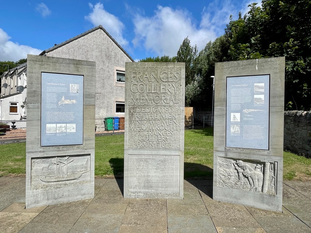
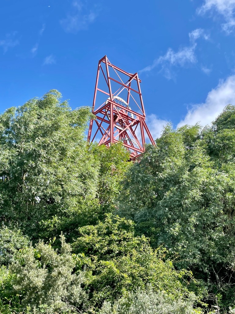
As we climbed to the path, running along an old railway line, a memorial to Frances colliery provided a reminder of the areas’s mining heritage.
Our first port of call, West Weymss, was a centre from where coal was exported to Middlesbrough, Amsterdam and Hamburg.
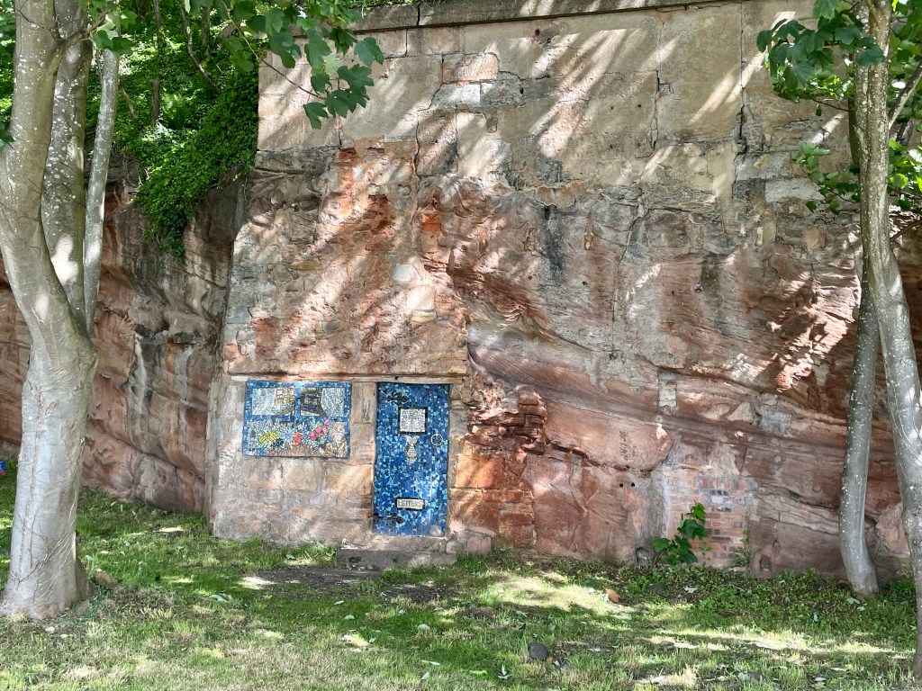
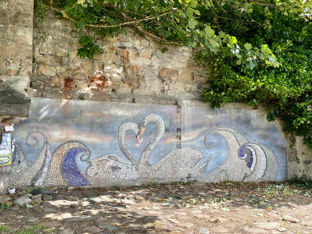
In such an area, it was a surprise to come across some delightful murals on the sandstone and stonework as we entered town.
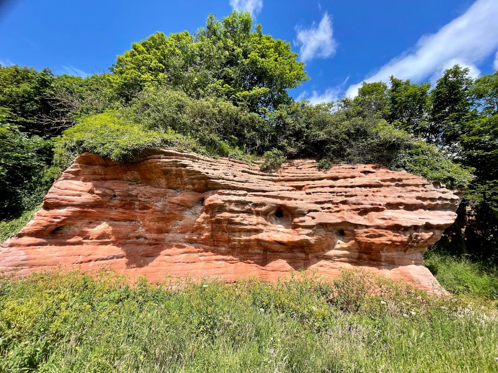
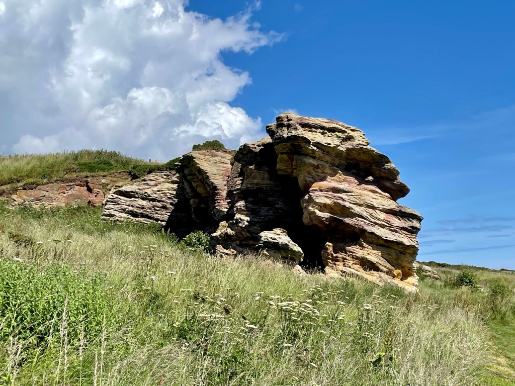
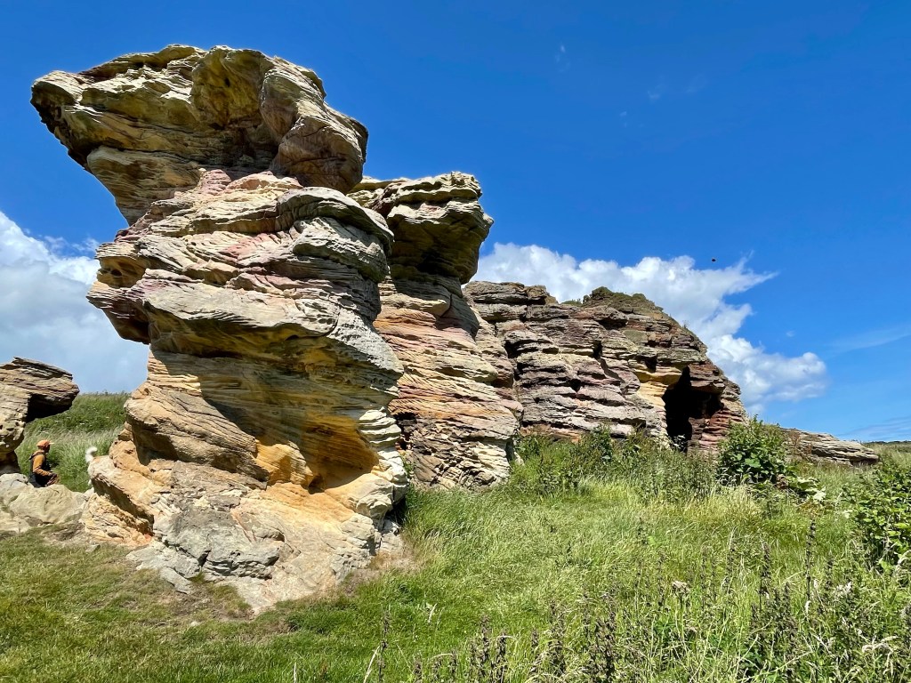
Leaving on the path out of town, the sandstone was sculpted by the weather into beautiful shapes.
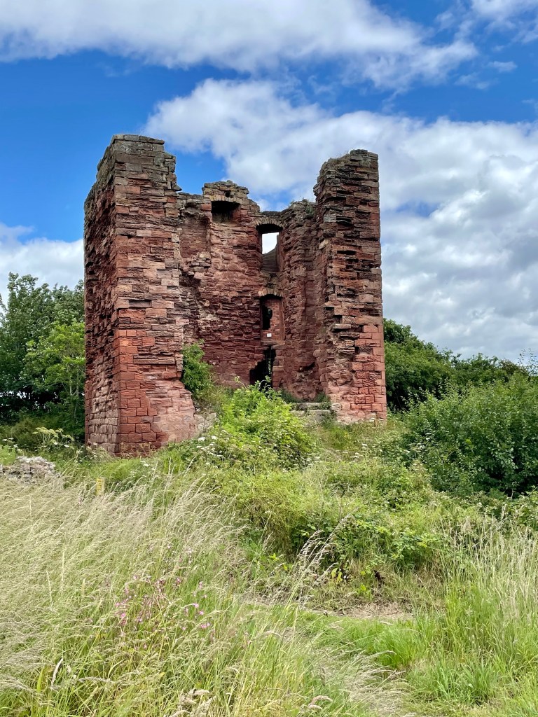
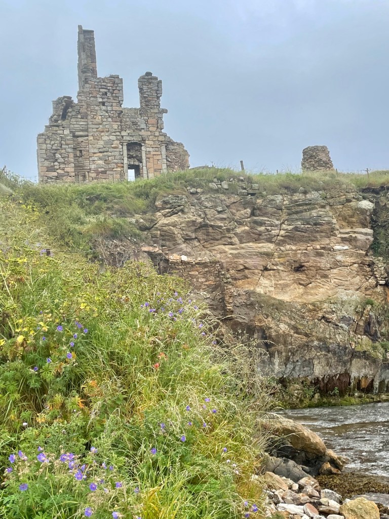
The path ascended towards the viewpoint around a ruined castle, Macduff.
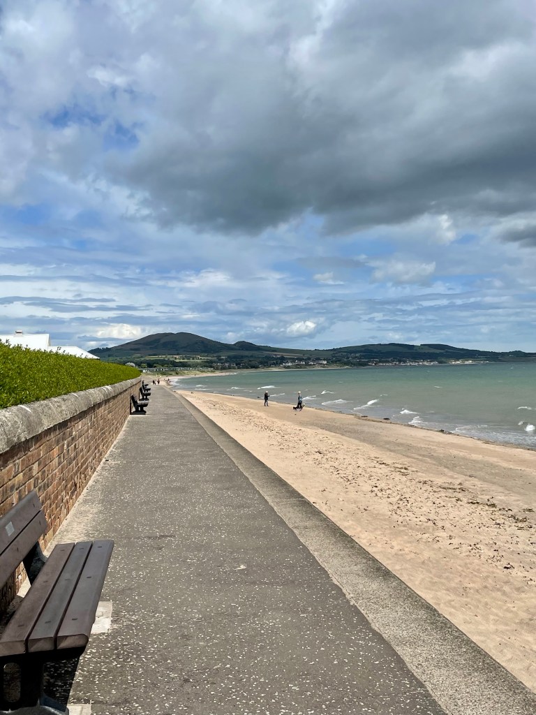
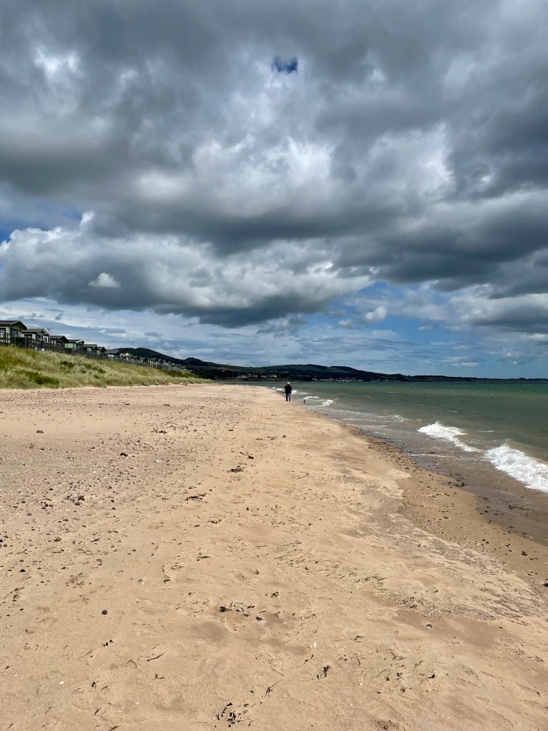
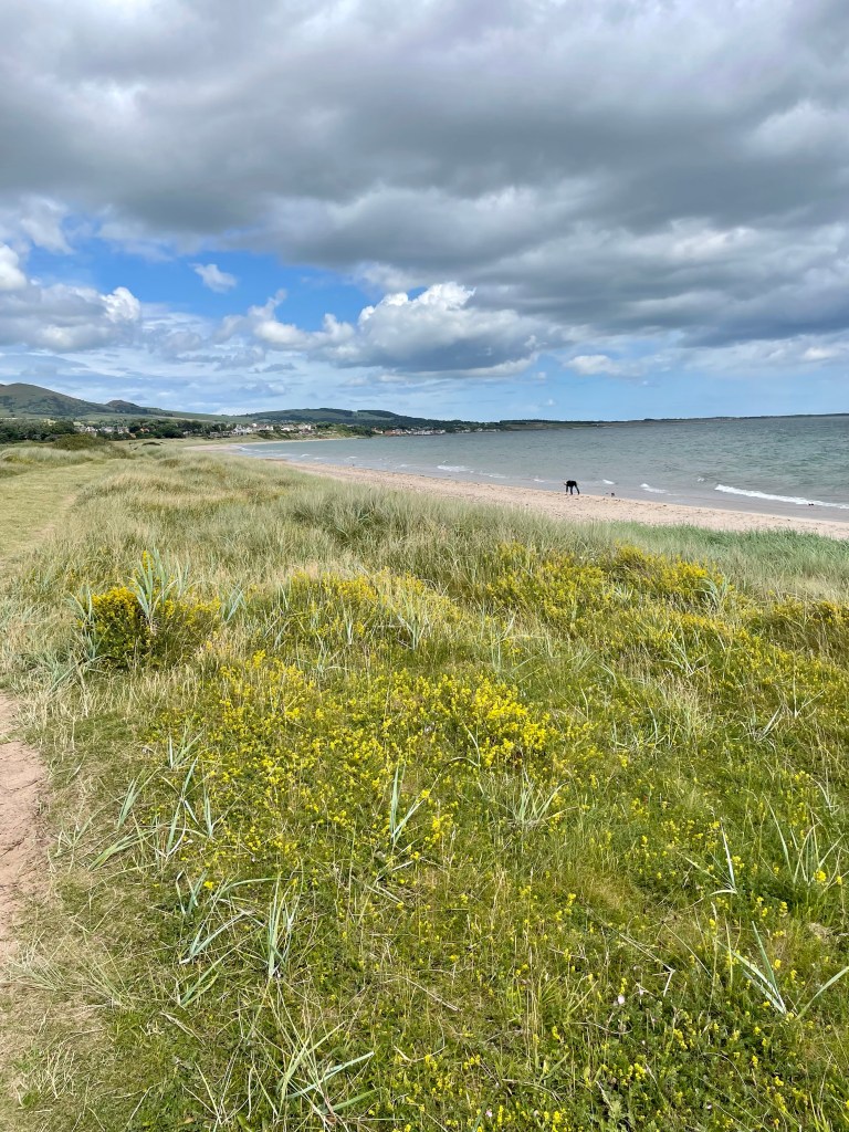
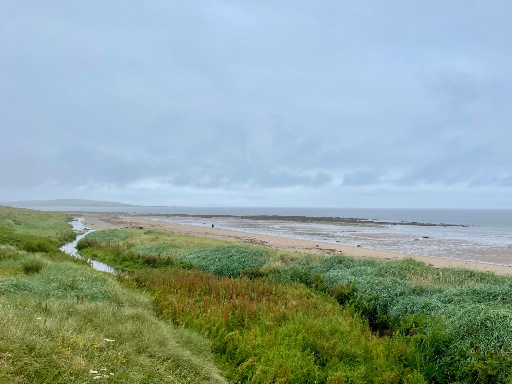
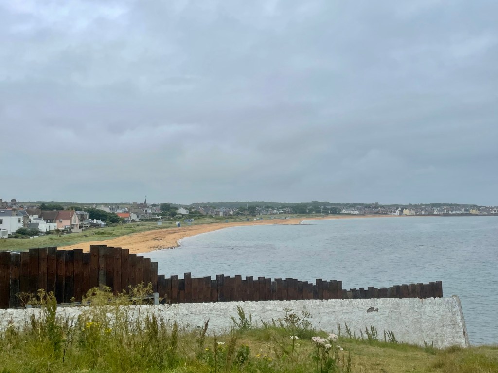
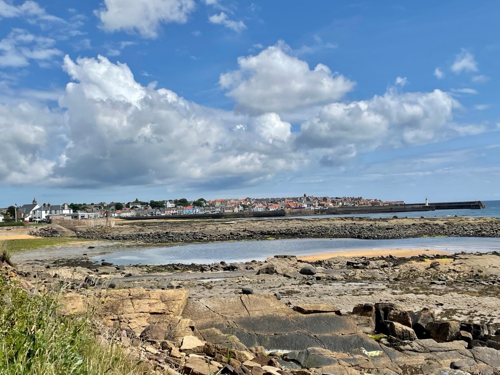
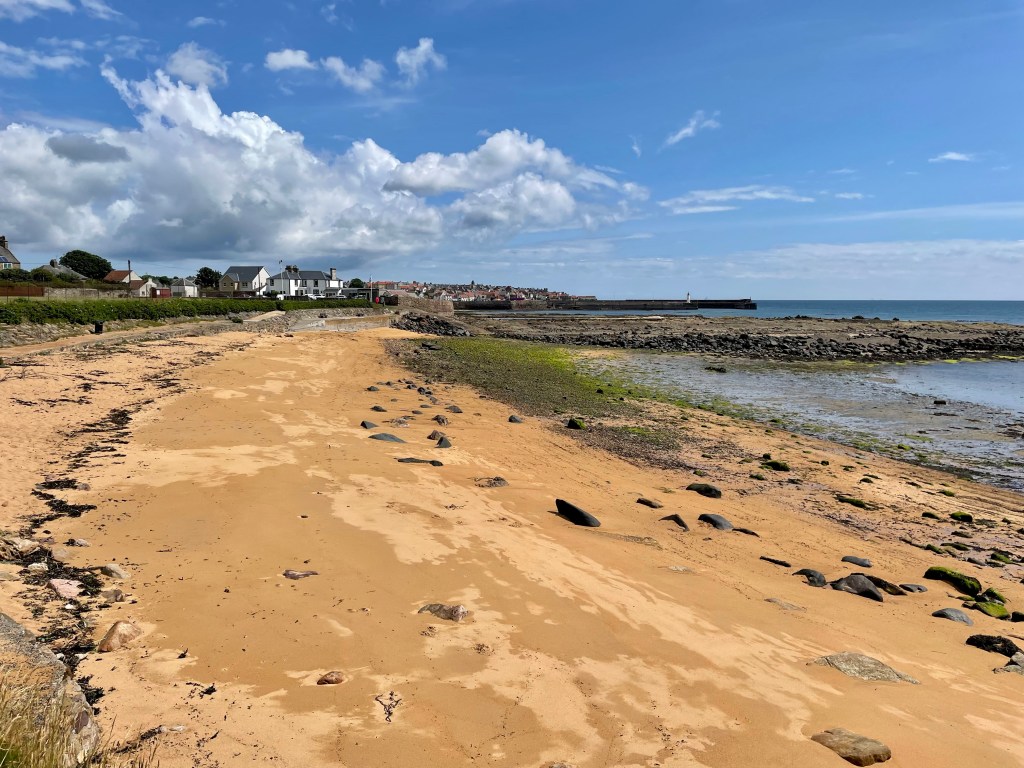
Sadly, the urban section through Buckhaven, Methil and Innerleven won’t live long in the memory. The promenade and beach at Leven, however, saw spirits lifting again as we were able to take our first walk along the beach.
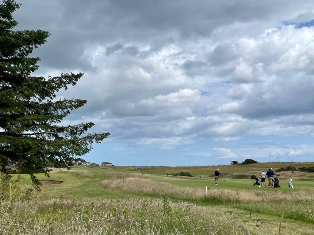
After passing the caravan park we turned inland towards Lundin Links and a pleasant walk along the course before turning into Lower Largo.
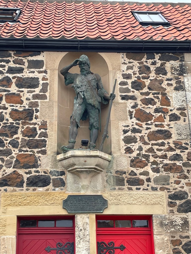
A much needed drink and meal at Crusoes ended a pleasant days walking. The statue to Alexander Selkirk, the inspiration for Robinson Crusoe, watched over us as we returned to the car.
Day 5 – Lower Largo to Elie (6.9 miles) Elie to St Monans (3.3 miles)
A moment to talk about parking if I may. We needed to select a spot at both the end and start of each section with the way we are carry out the walk. Hats off to the Fife Coastal Path for providing ample free parking at each possible jumping on or off point along the route. Many have toilet facilities, useful for more than the obvious as we shall see later!
Today’s weather was foul. Abominable. Unremitting heavy rain and driving wind. On many occasions we asked ‘why on earth are we doing this?’. I’ll leave the finer points to a discussion at a future point, but decision made off we set.
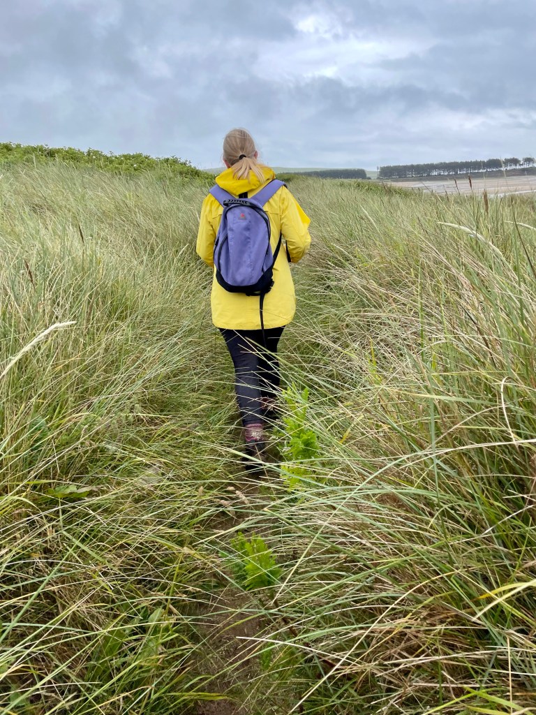
Visibility was poor as we left town to Dumbarnie Links wildlife reserve and a walk through the dunes with wet clinging sea grass impeding our progress.
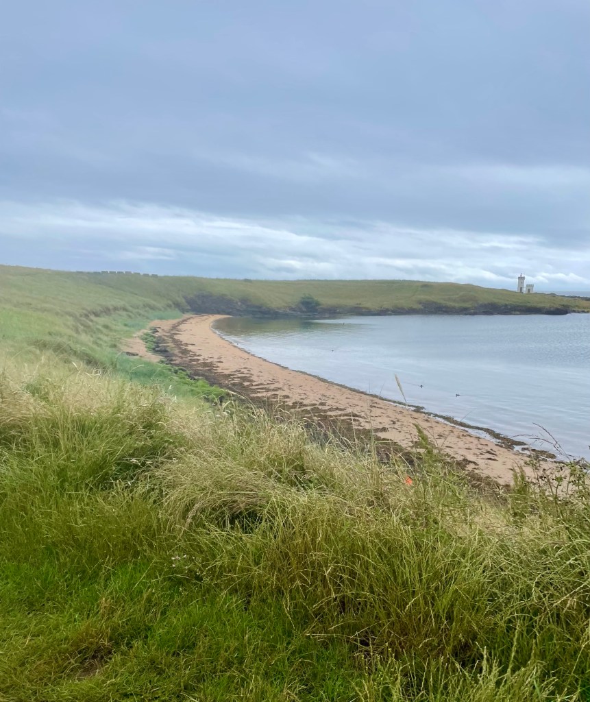
To add to the misery, we took a wrong turning through the golf course as those brave (?) enough to play battled the driving rain. Eventually we regained the path to reach Shell Bay Caravan Park, unsurprisingly deserted. The path passed Kincraig Point and we took the high path along the cliff tops, avoiding the infamous chain-walk.
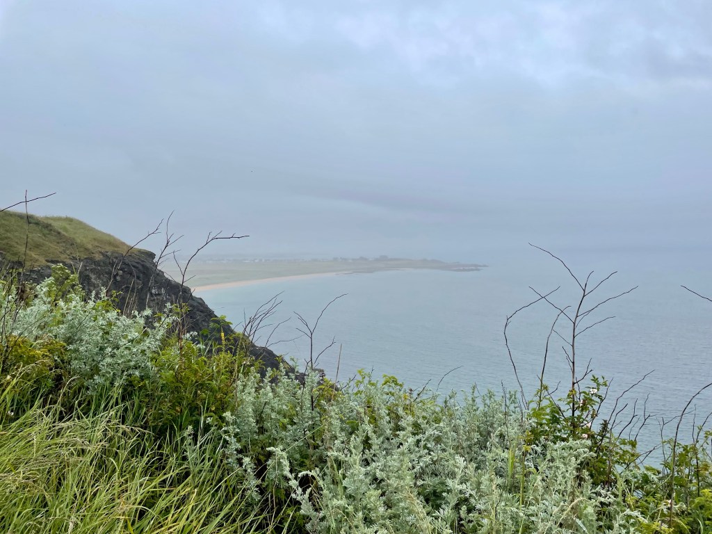
Amazingly, even on a day such as this I saw people battling with the chain traverse. In my opinion, reckless. Soon we reached the town of Earlsferry and then the pleasant (even today) centre of Elie.
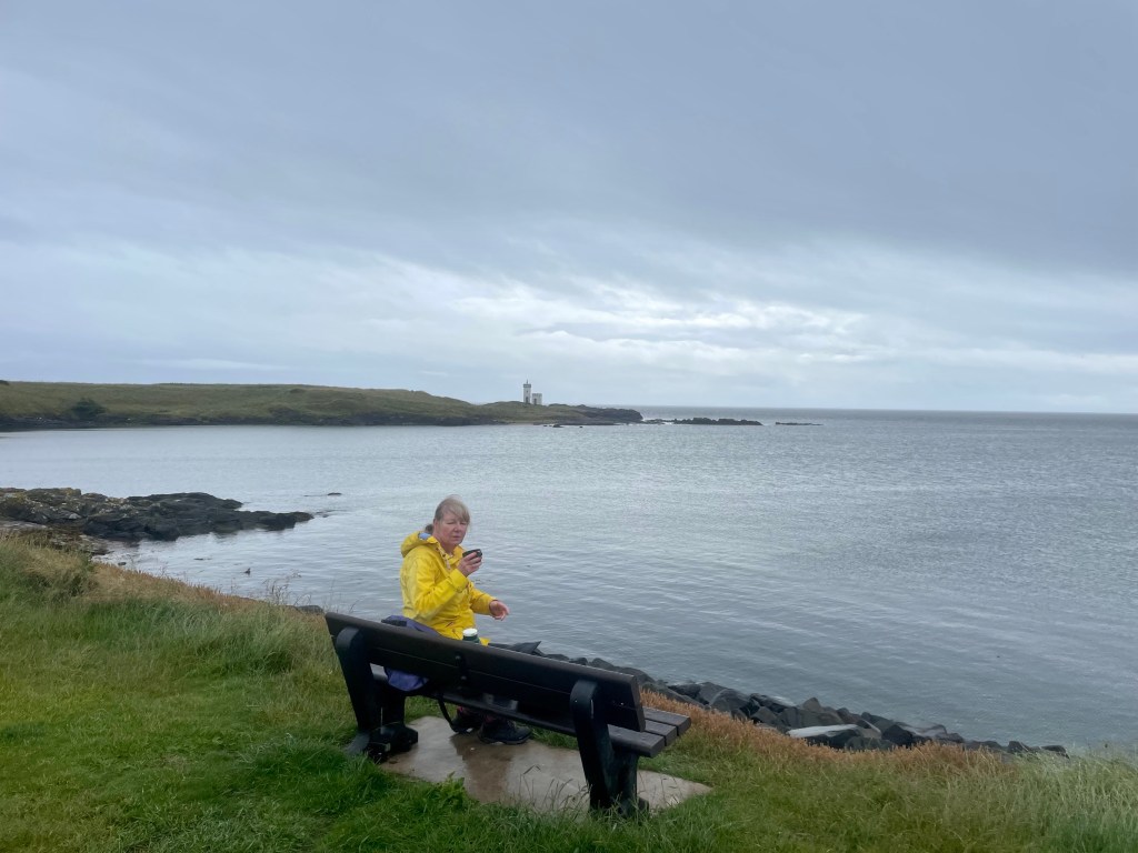
Few souls were brave enough to venture out but there were some vehicles parked up at Ruby Bay.
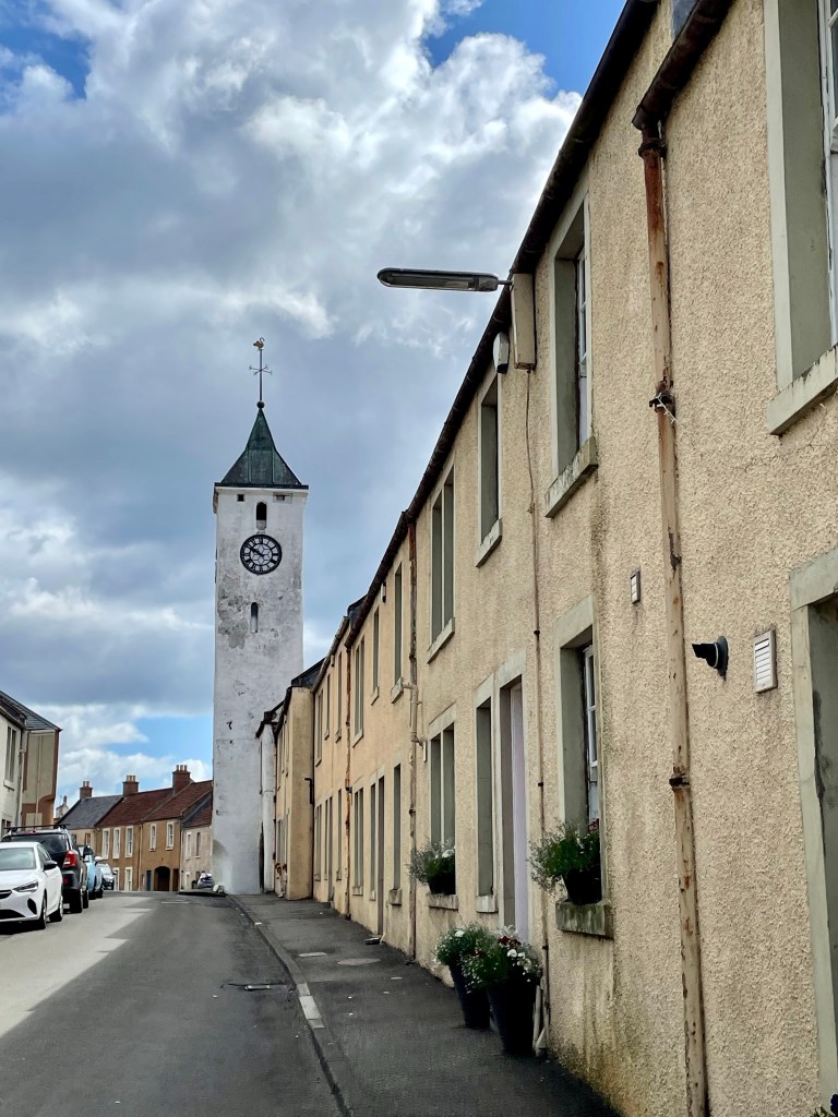
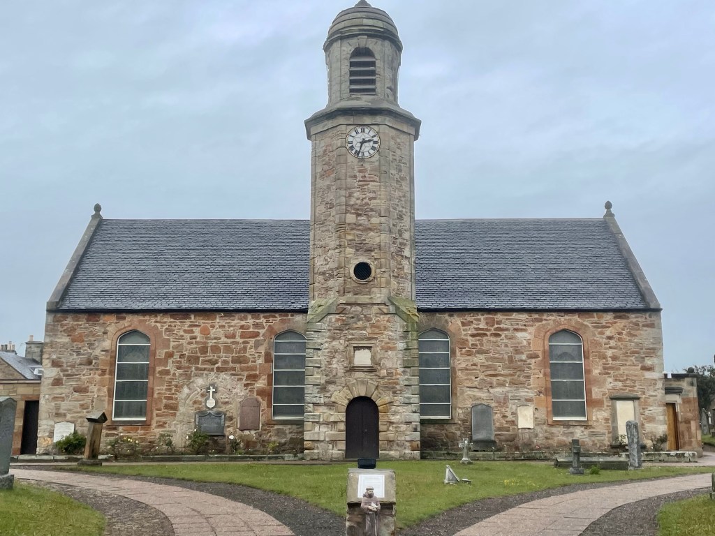
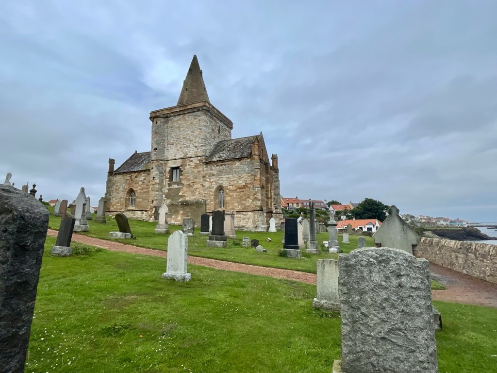
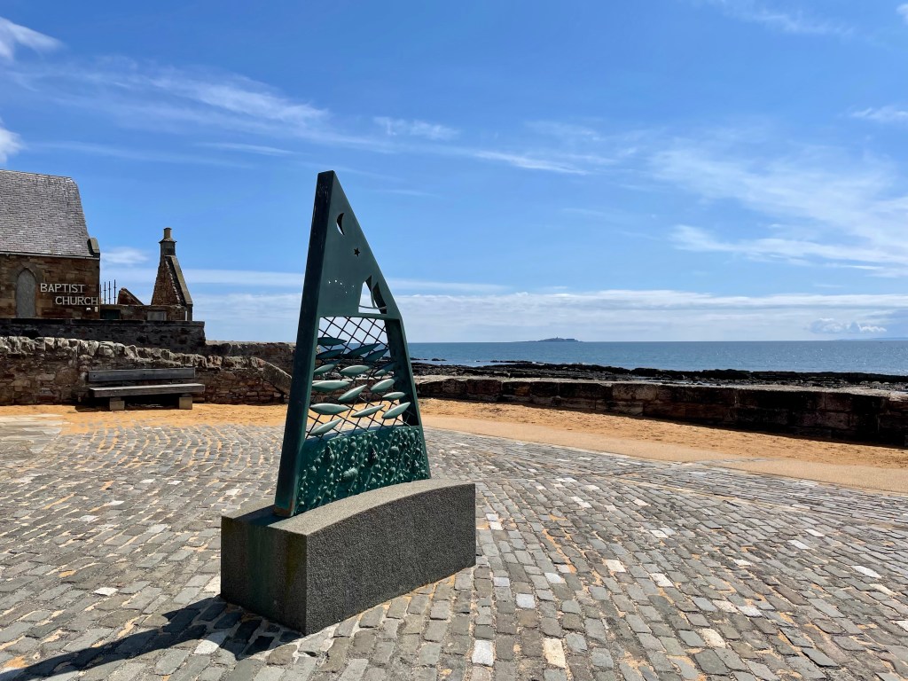
We passed up the opportunity to go off path to see the lighthouse and Lady’s Tower, opting for a straight path to Newark castle, the doocot and the finish at the delightful church in St Monans.
Before driving home, the aforementioned toilets provided a shelter to change into some much needed dry clothes for the drive home. Chalk one up for preparation!
Day 6 – St Monans to Pittenweem (1.8 miles) Pittenweem to Anstruther (1.7 miles) Anstruther to Crail (4 miles) Crail to Fife Ness (2.5 miles)
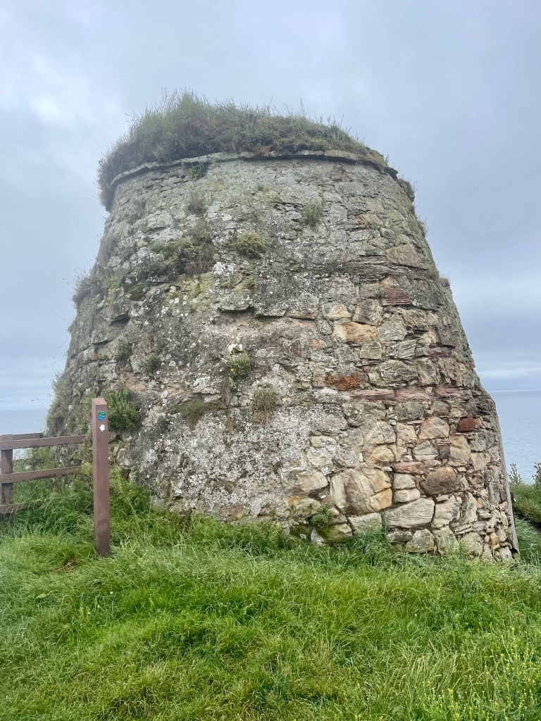
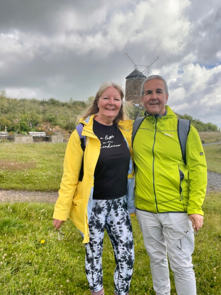
Today started bright, with the portent of showers ahead, which thankfully would prove to hold off. The shore at St Monans was a lovely place from which to set off, with the windmill as testament to the area’s history of salt production and export. The shore reflected this too, with widespread shallow rock formations.


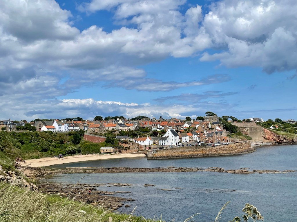
Walking was brisk and easy and it seemed mere moments before the first of our several ports of call, Pittenweem, came into view.
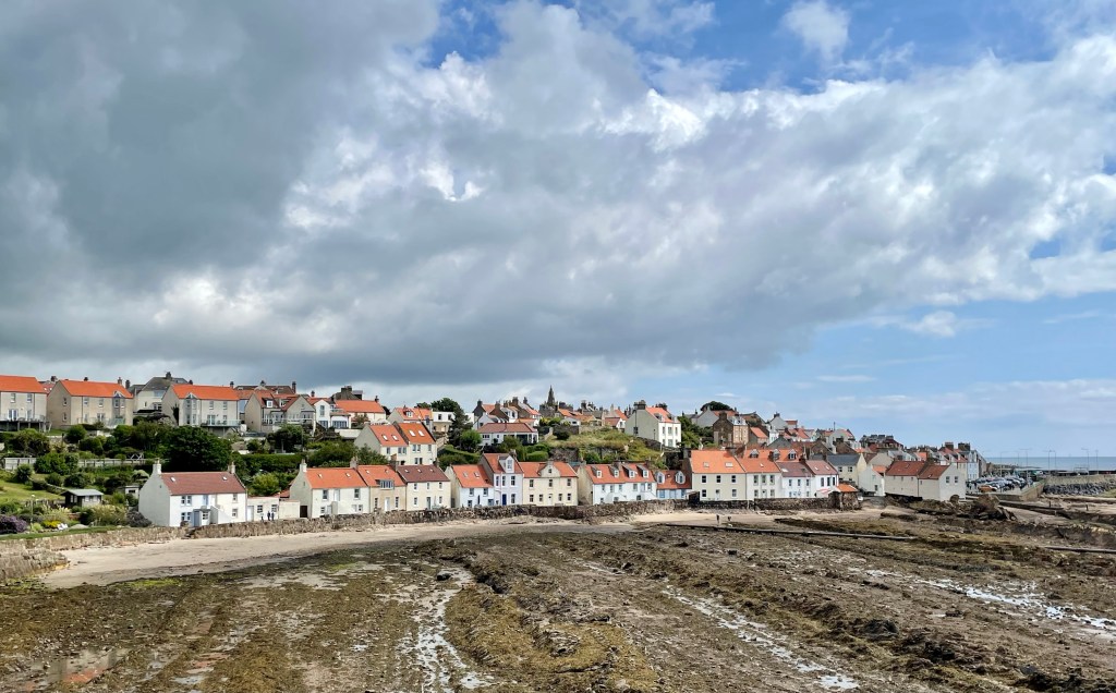
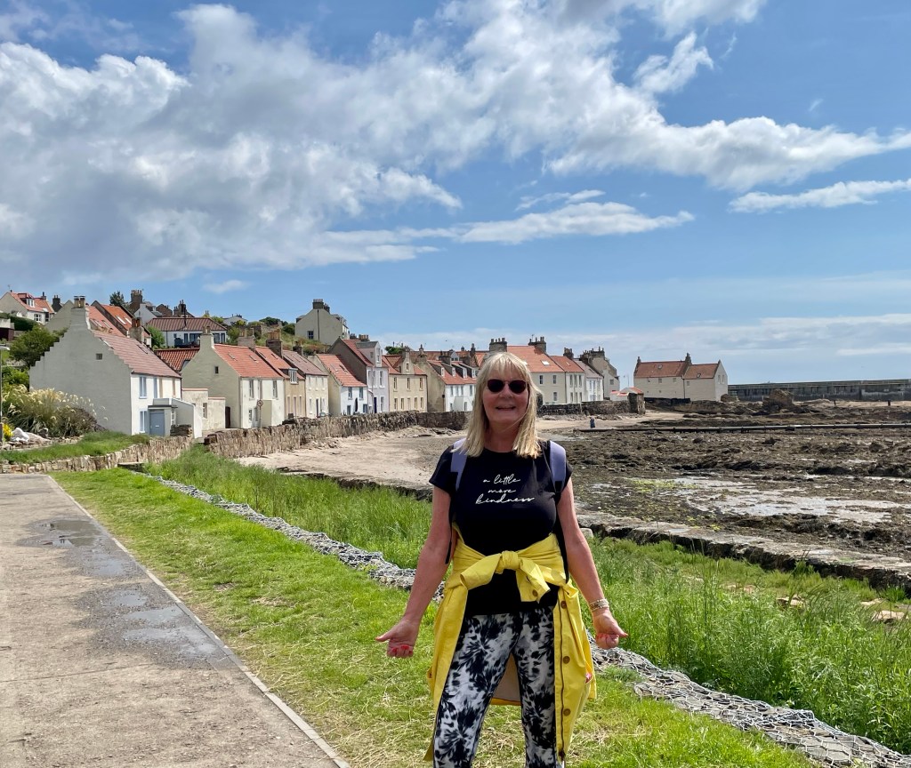
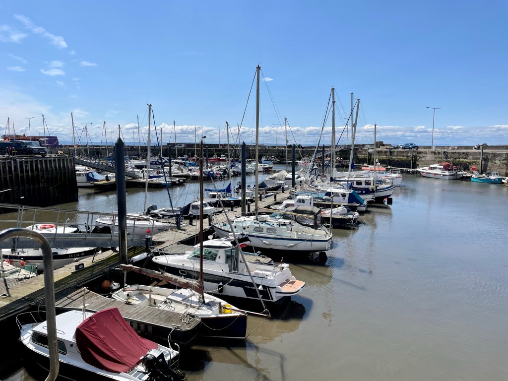
These jewels of the East Neuk are familiar day trips for us, but seeing them from a coastal approach really does give an altogether more satisfying viewpoint. Pittenweem looked glorious with its cottages offering delightful sea views and the harbour reminding us that this is no chocolate-box hamlet but a working town.
Very soon we were back along the shore, near the beach at Billow Ness and looking ahead to Anstruther.
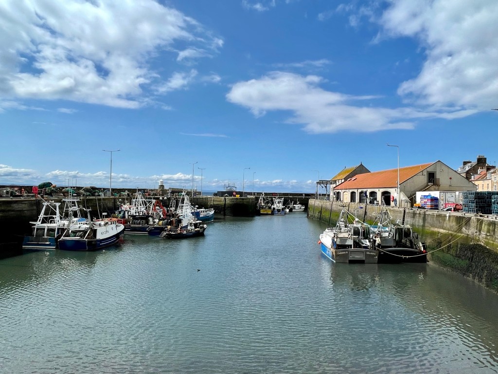
As usual, this tourist trap was thronged with holiday makers, many of them here to sample the world famous fish and chips, many outlets of which offered there tempting wares along the harbour front.
Despite Anstruther offering no surprises, it was a new experience to walk through the streets of adjacent Cellardyke to its picturesque (and nearly deserted) harbour.

As we exited Cellardyke we were reminded that many people love to holiday by the sea as we walked through one of many caravan parks, this one being Kilrenny.
From here, the shoreline path passed the rock formations of Caiplie caves.
As we rounded the headland, the familiar sight of the harbour at Crail came into view.
Rather than divert down harbourside, we followed the path signs through the streets, eventually turning seaward and descending to the splendour of Sauchope holiday park. Some of the lodges here, with elaborate decking and paved driveways are truly spectacular, a fact reflected in a price tag north of £300,000.
The path continued around the coast of the promontory of Fife Ness, a relative wild area with a coastguard station and golf course. Tomorrow we, literally, turn the corner and head due west to St Andrews. Today has been delightful, the essence of fine costal walking with weather to match.
