And so to the final three days of our walk. Those who know the geography will immediately recognise that Newport is not,in fact, the end destination of the Fife Coastal Path and that we have omitted the final 18 miles between Newport and Newburgh. It was always our intention to walk bridge to bridge – Kincardine to Tay – as that was what time constraints permitted. Also, in the cause of transparency, I should point out we had a day off walking between days 8 and 9 due to a prior commitment. So, some may say we didn’t walk the whole route and we didn’t do it day upon day, but I’ve always found my life better if I focus on what I did achieve and we both feel the effort has been very worthwhile. A little more on that at the end, though, after we take a closer look at the three remaining stages.
Day 7 – Fife Ness to Kingsbarns (3.6 miles) Kingsbarns to St Andrews (7.2 miles)
This would prove, by a distance, to be the most challenging day of the walk. This was not entirely unexpected from my reading; the guide mentions the need to walk onshore in several sections, to pay close attention to tide times and the relative isolation of the latter part of this walk. All should be taken as important advice if you decide to undertake this section of the walk.
There was little to raise any concerns, however, as we set out from the beautiful setting of Crail Golfing Society, carefully and respectfully walking the path between shoreline and the edge of the course.
Having carefully chosen our starting time to coincide with low tide, there was ample sand to allow us to walk along the beach when the path so dictated.
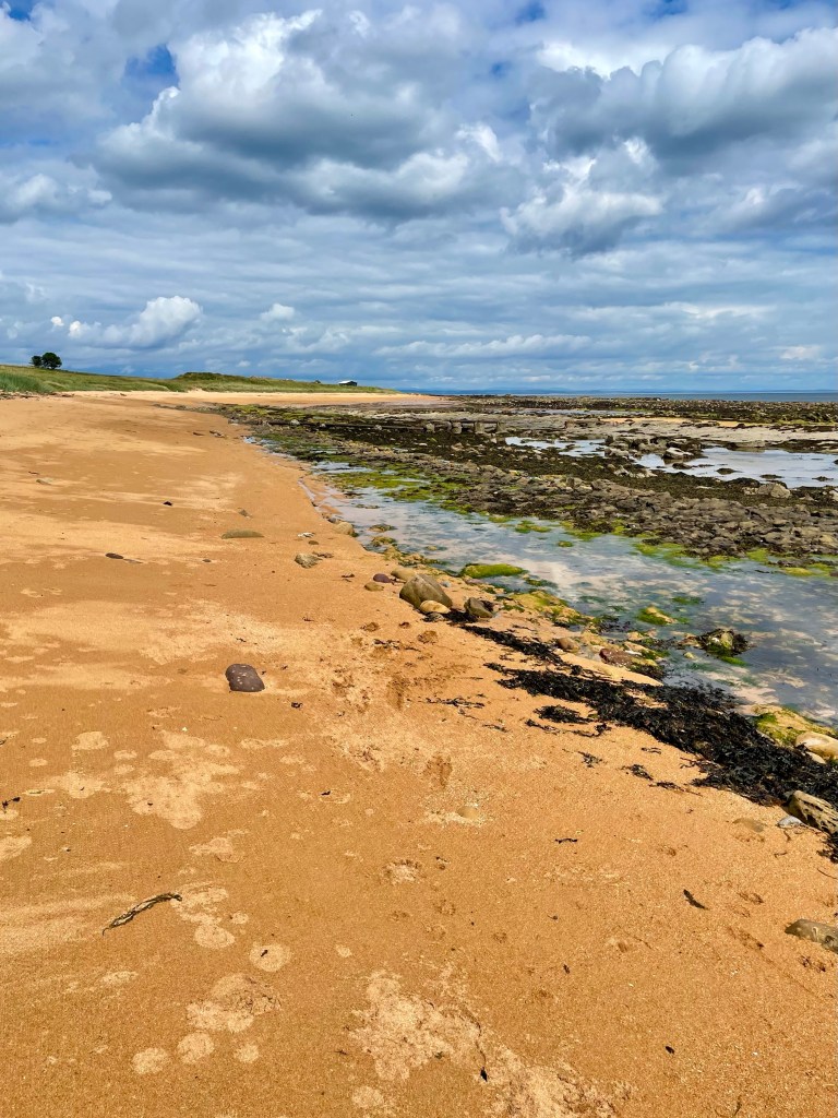
As those of you who enjoy beach walking will know, the soft sand does take it out of your legs, even if the respite from firm ground carries some relief. Soon we were back on the grass along the edge of Balcomie links before passing through a car park at Kingsbarns. Here, a sign reminded us that the remaining miles would be the most remote we would face.
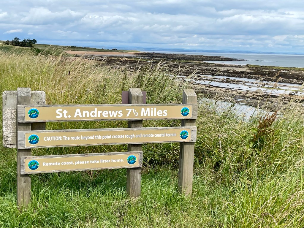
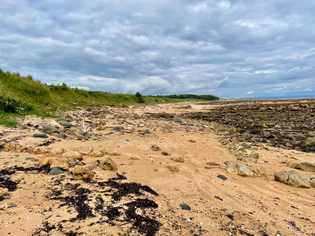
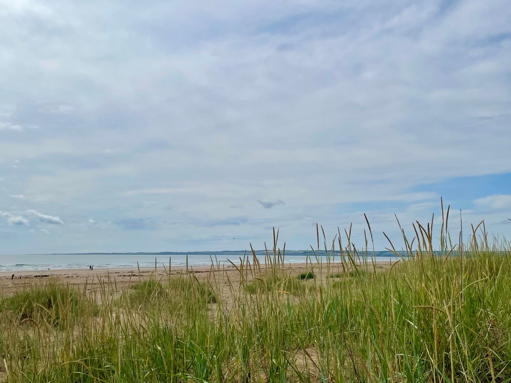
Sure enough, some more beach walking was to follow, and this time it involved clambering over sizeable rocks, slippy in places, which considerably slowed our progress and introduced the possibility of a turned ankle. Even with what I had thought was a safety margin time-wise, I began to be concerned that we might reach later stages of beach walking at high tide, necessitating a lengthy delay.
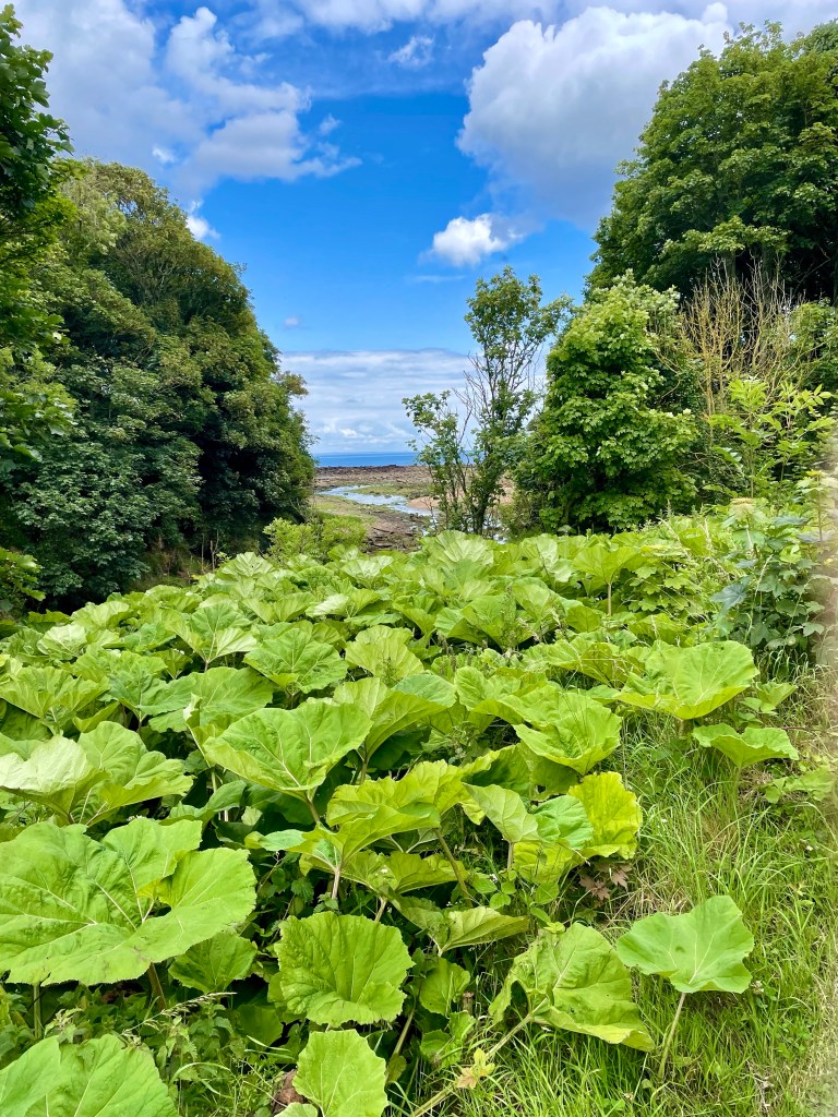
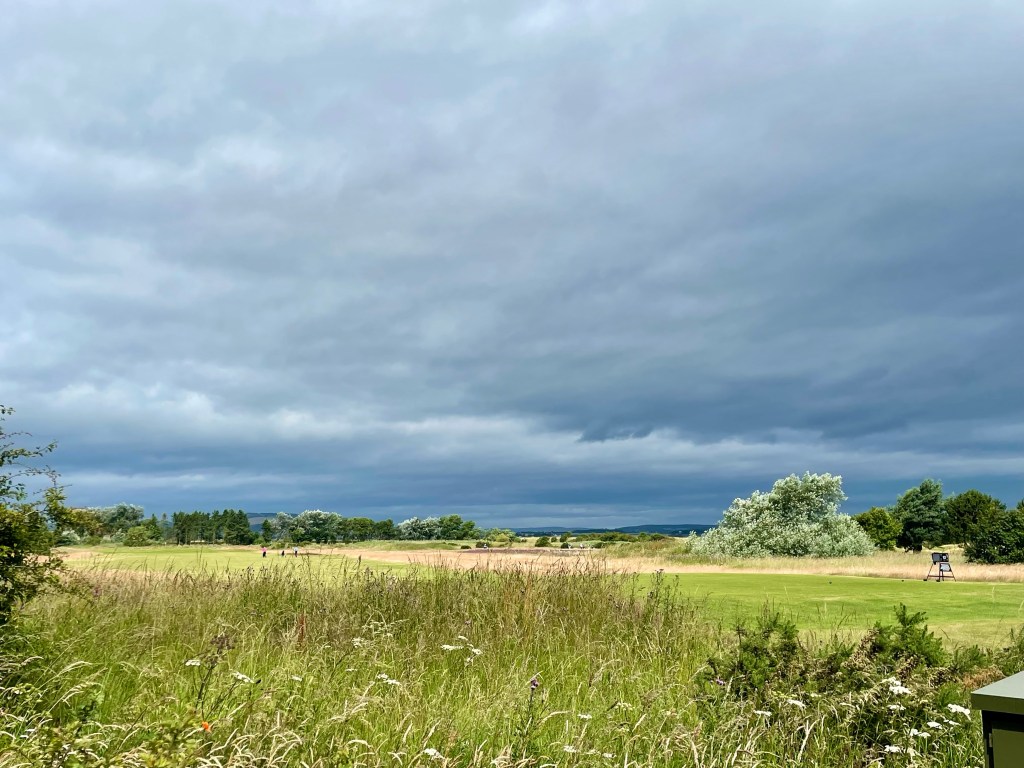
We safely regained the path ashore and were led through a very pleasant uphill woodland section beside Kenley Water, bringing us out at Burnside farm.
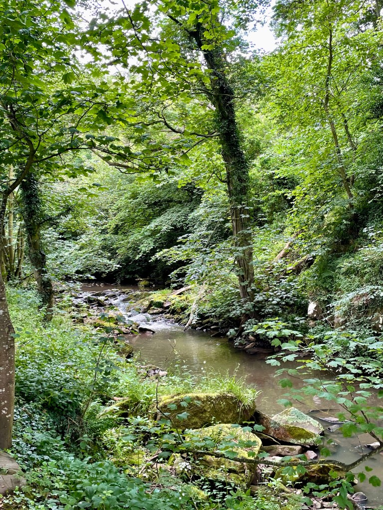
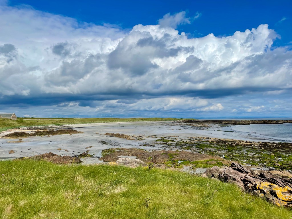
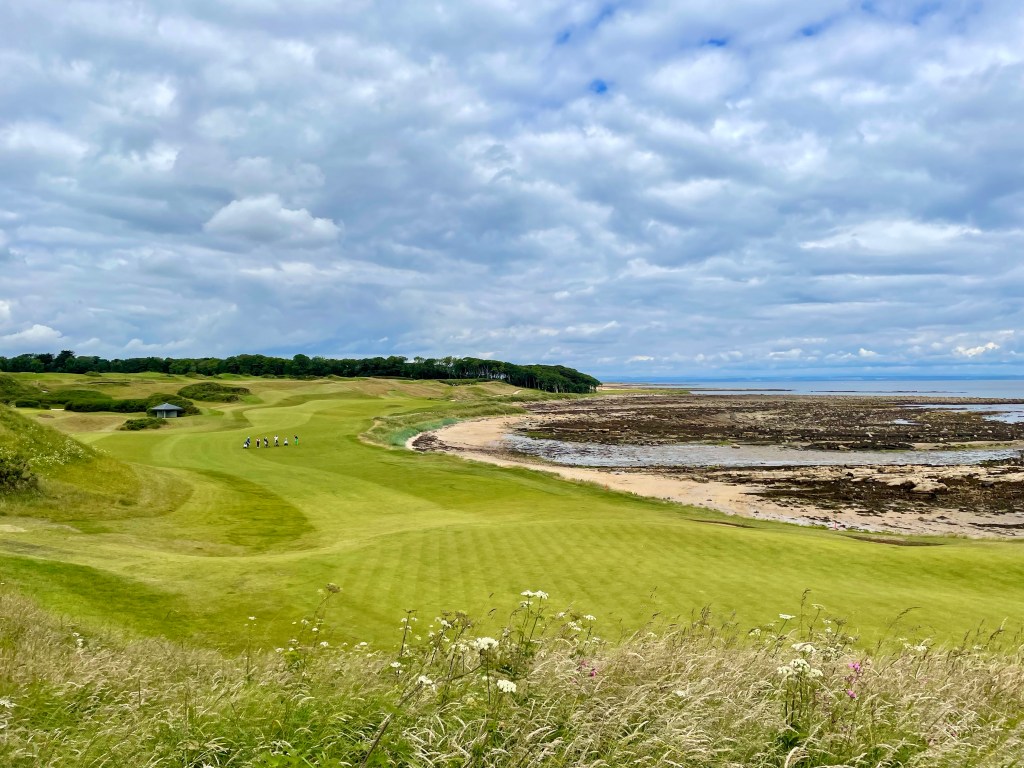
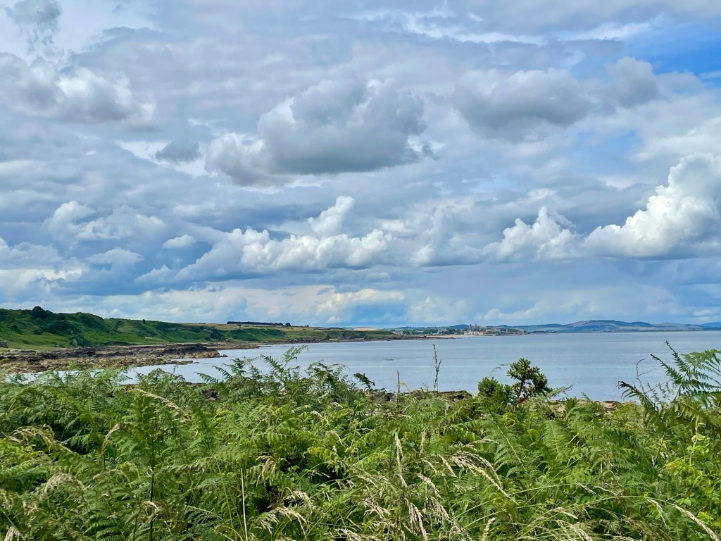
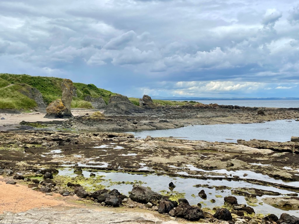
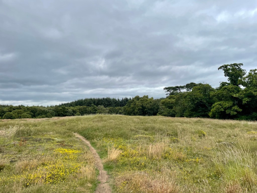
This section provided fine country views for a mile or so, until on turning a corner, the coastline was once more in view. These two photographs, taken a hundred metres apart, show how quickly the scenery on the coastal path can change.
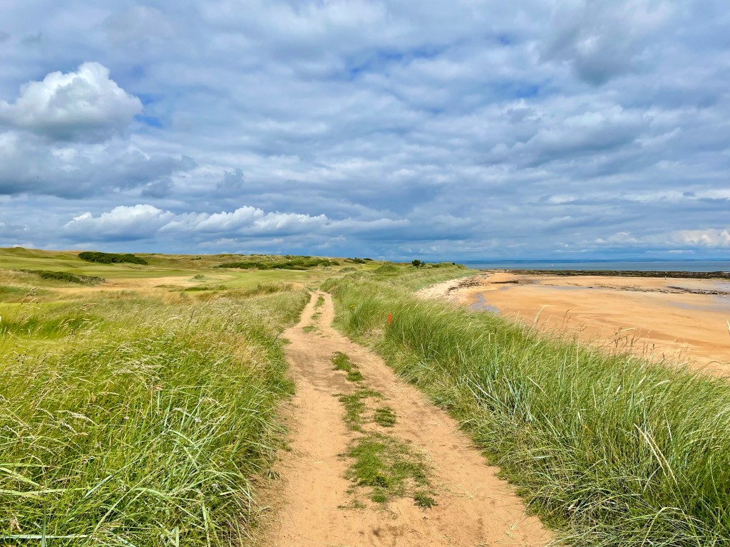
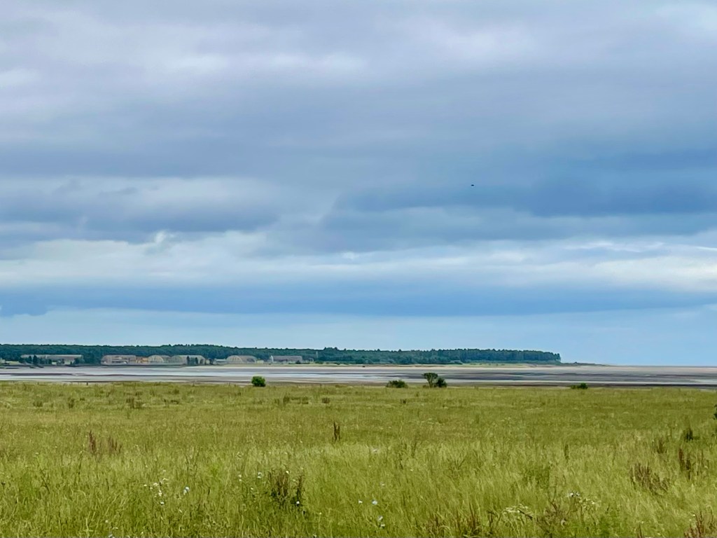
Now we were descending again towards a tiny sandy beach at Buddo rock, before climbing again to gain our first views of the town of St Andrews.
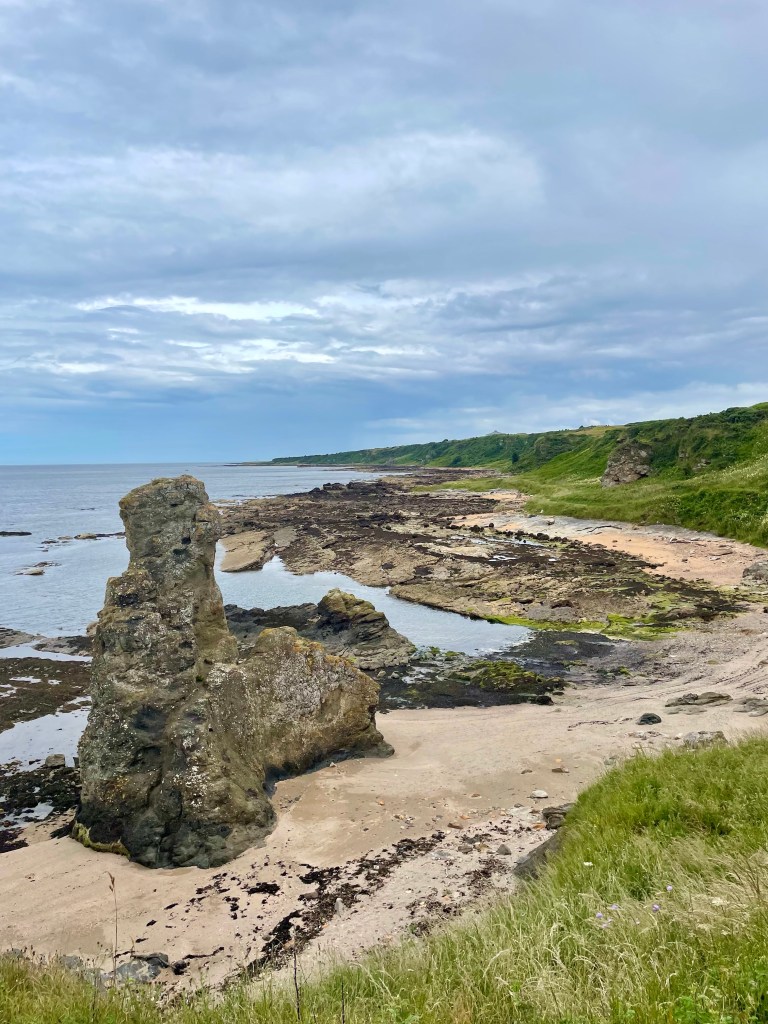
If we had any ideas of an end in sight, these were expunged by an exhausting section of up and down, very narrow pathways, where footing required extremely close attention to negate the risk of a slip. Having safely negotiated this, our reward was one final beach section, with no inland alternative, which called for hands-on scrambling over large rocks with significant gaps between them. At least we had beaten the tide! The formation of the Rock and Spindle was a final landmark before we wound our way alongside St Andrews Holiday Park and descended, weary and somewhat fraught, onto the East Sands.
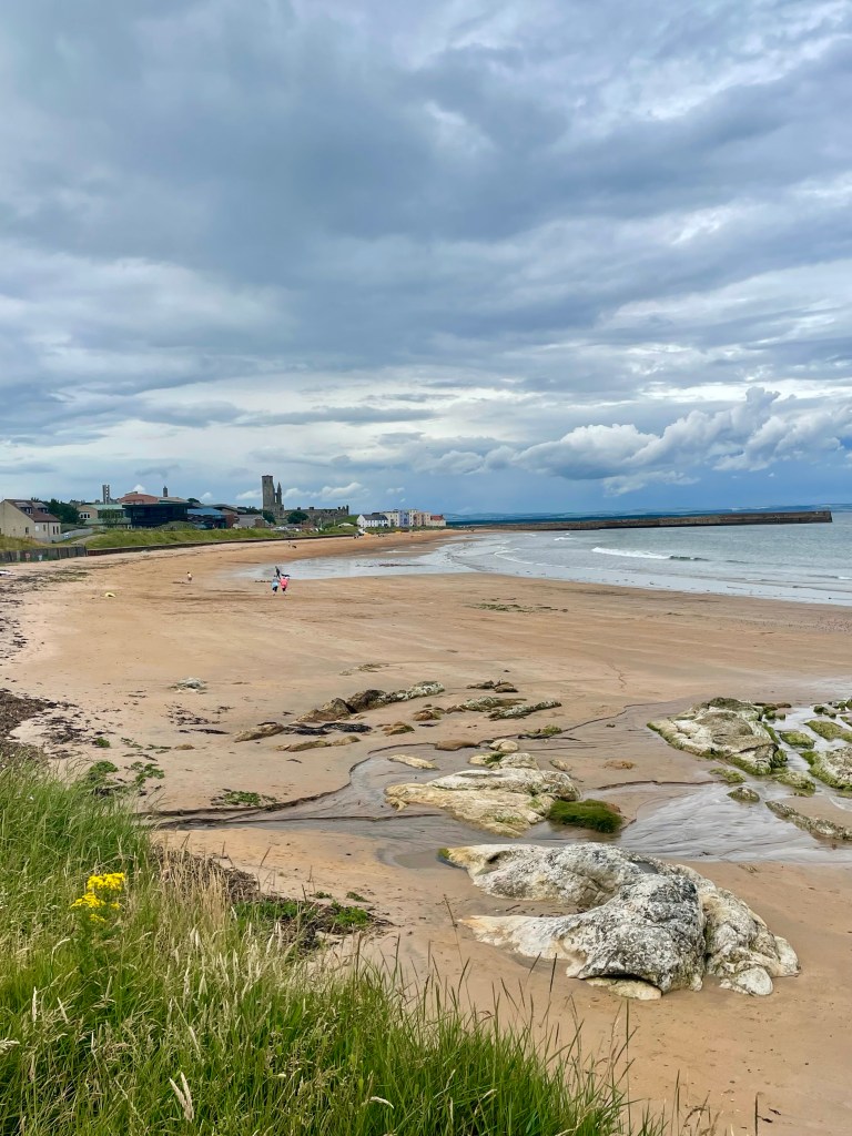
It is beyond the scope of my blog to include a description of the magnificent town of St Andrews, where I have spent many happy weekends. Hopefully some of you will be familiar with its charms; if not, I heartily recommend a visit, or better, several, to become acquainted. It will repay the effort in spades.
Day 8 – St Andrews to Guardbridge (5 miles) Guardbridge to Leuchars (1.6 miles) Leuchars to Tentsmuir (4.4 miles)
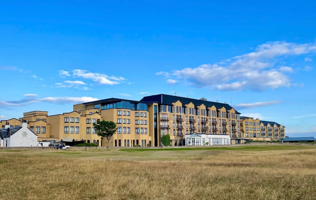
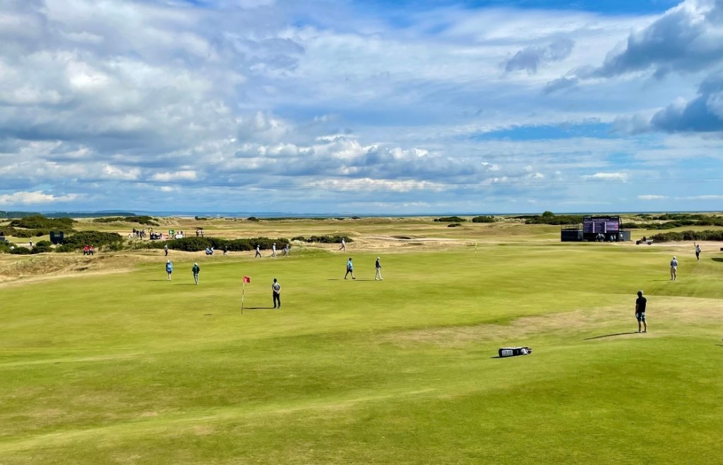
Returning to St Andrews today, we were comforted by the knowledge that today’s walking would be much less challenging that the previous one. We set off from the famous West Sands, the beach featured in the iconic running scene from ‘Chariots of Fire’, passing by the Old Course Hotel and crossing the magnificent Old Course on the 17th hole, the infamous ‘road hole’, whose cavernous bunker has ruined the hopes of many a would be champion golfer.
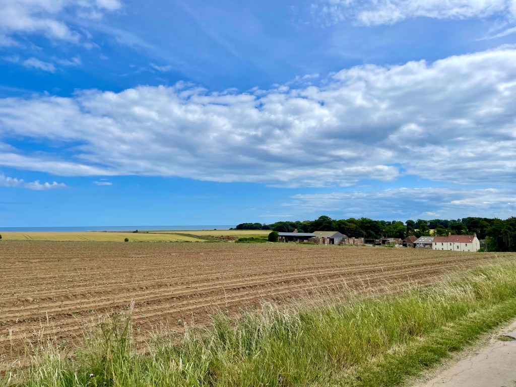
Our path was the Kingdom cycle route which links many areas of Fife, which we would follow for 5 miles to the town of Guardbridge. Initially, we were well set back from the busy road, but rather (literally) hedged in by a high hedge which obstructed views of the golf courses which line this stretch of land.
Eventually, the hedge petered out, affording improved views across towards the Eden estuary. Beyond we could see our eventual destination for the day, Tentsmuir forest and beach, as well as the RAF base at Leuchars, from which several large planes took off and landed as we walked.

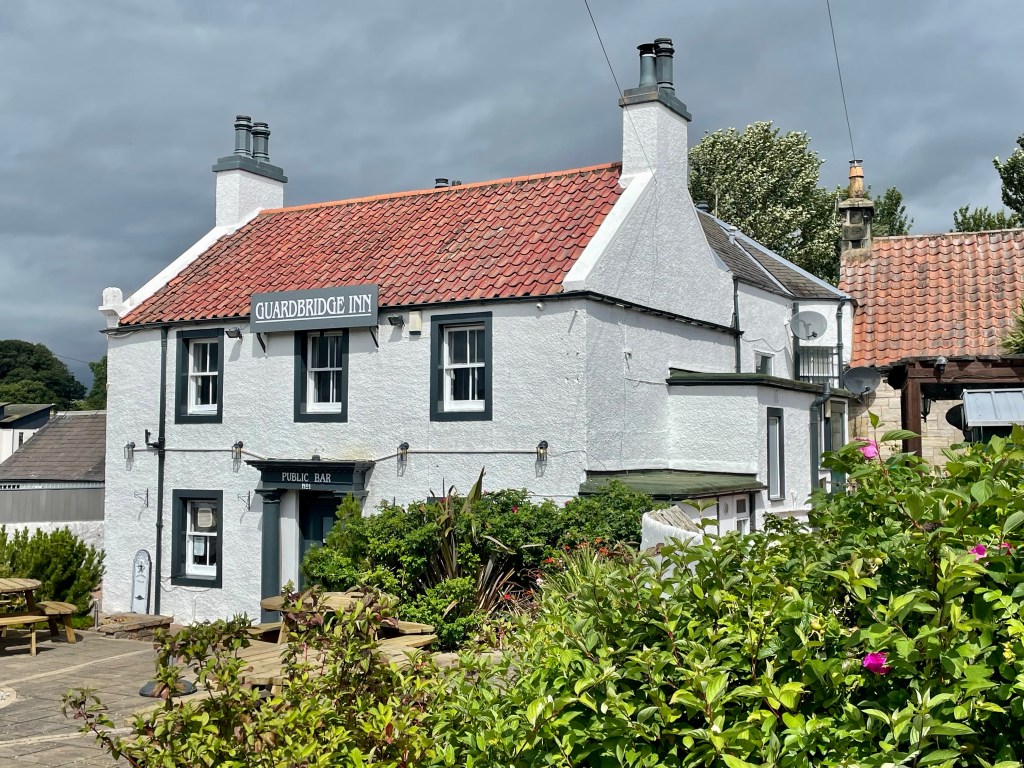
Sadly, the path gravitated towards the roadside and we had a mile or so of traffic noise and gusts to contend with. It was a relief to reach Guardbridge with its inn, bridge and delightful cafe where we enjoyed a cake and a drink.
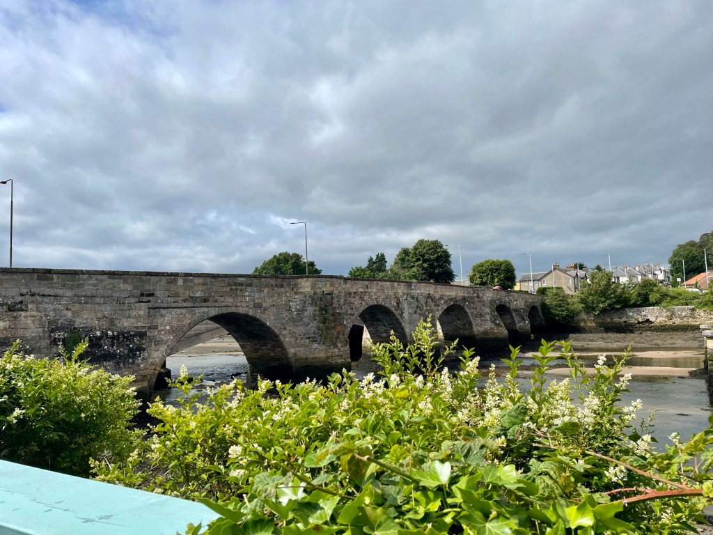
Refreshed, we crossed the bridge into Leuchars, where a further section of pavement pounding took us through the town and into the base, which is clearly very active with both RAF and army presence at work. Naturally, no photographs are permitted here.
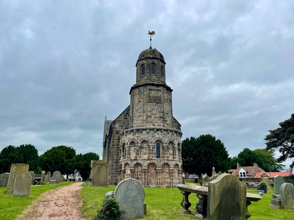
I had read of a church I wanted to visit and it was clearly visible only a hundred metres or so from our route, so we diverted to allow me to have a look and for a pleasant coffee break. St Athernase is a Romanesque building, my favourite type of ecclesiastical architecture, whose 12th century chancel and apse exhibit superb exterior blind arcades and arches. Sadly, the door was locked, but I loved the building.

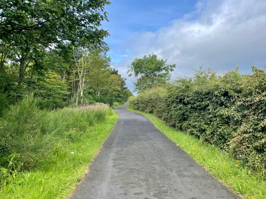
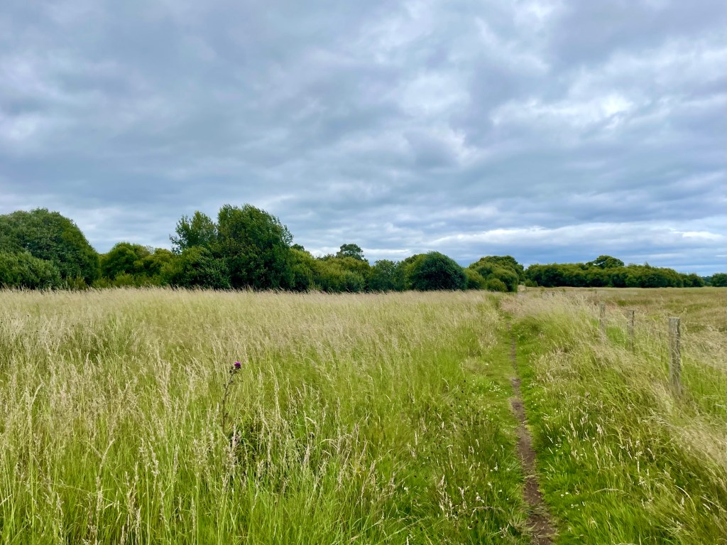
We returned to a much more mundane section of the route through a housing scheme and we’re glad to emerge again into the countryside on a minor road and then a farm track.
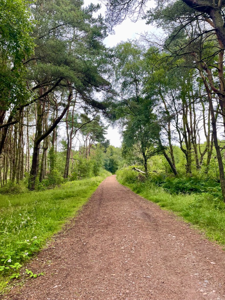
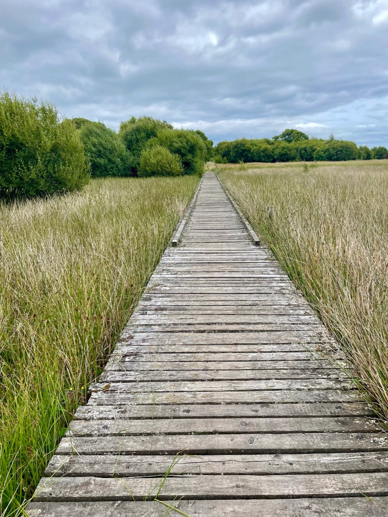
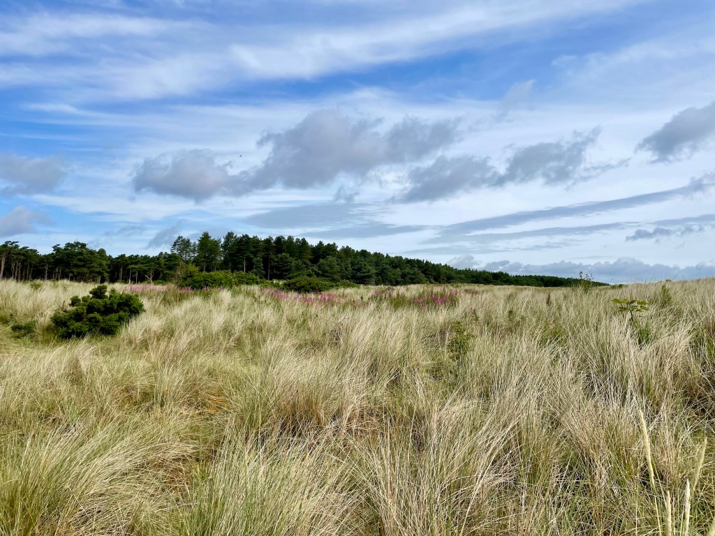
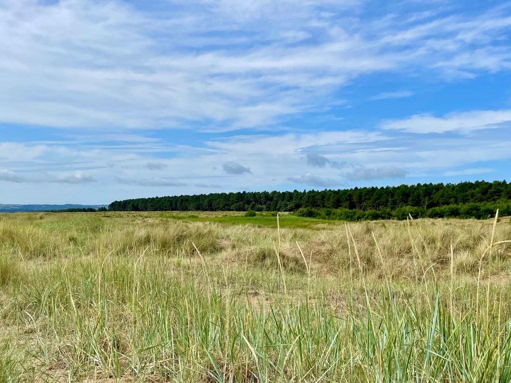
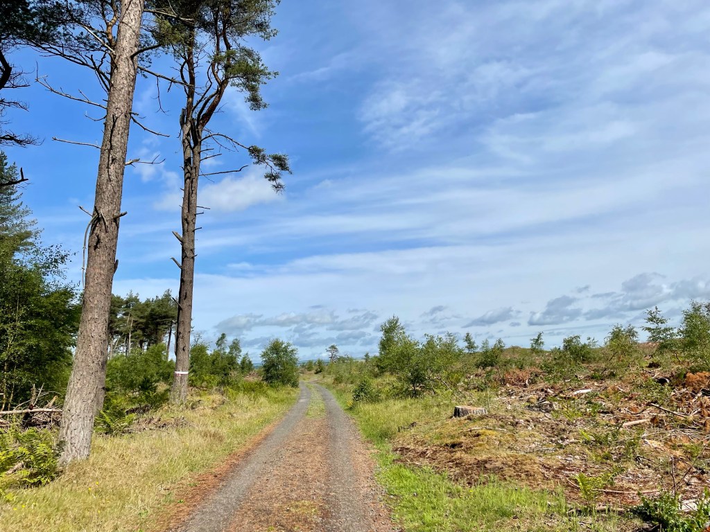
From here, the terrain changed several times from woodland, to heath and to boardwalk across a marshy section, before entering the established forest of Tentsmuir, with its aged pines and undergrowth of birch and fern.
We joined the main road to the car park for the final mile of what had been an enjoyable day, despite the fact that we had actually never really encountered the coast!
Day 9 – Tentsmuir to Tayport (5 miles) Tayport to Newport (3 miles)
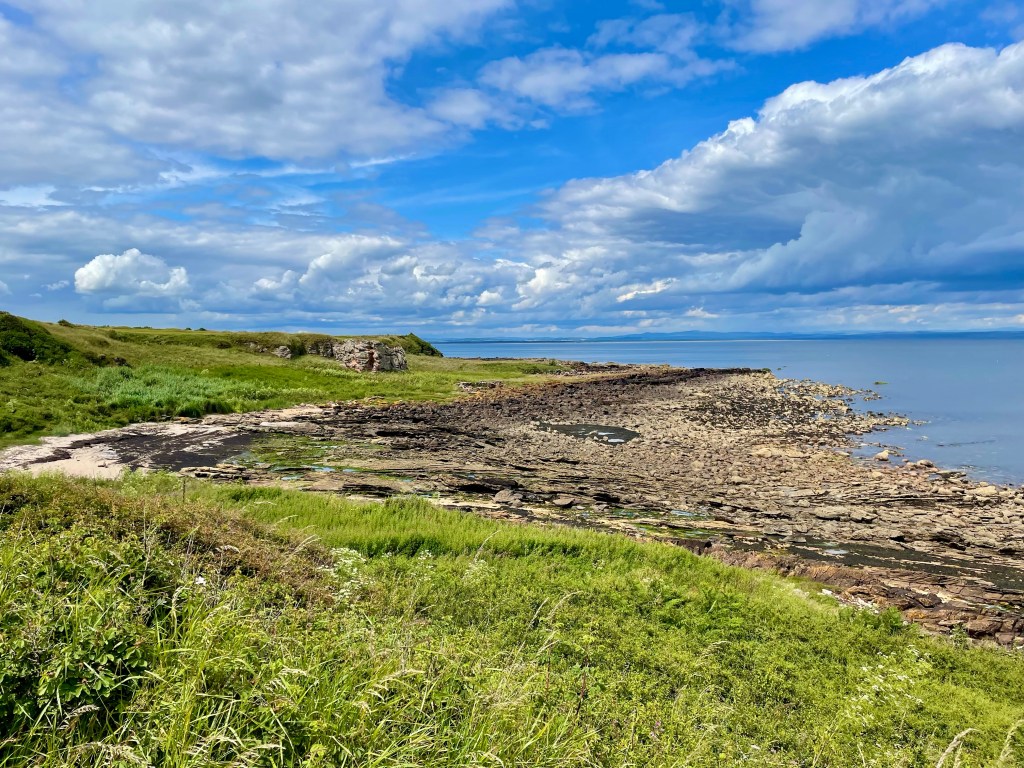
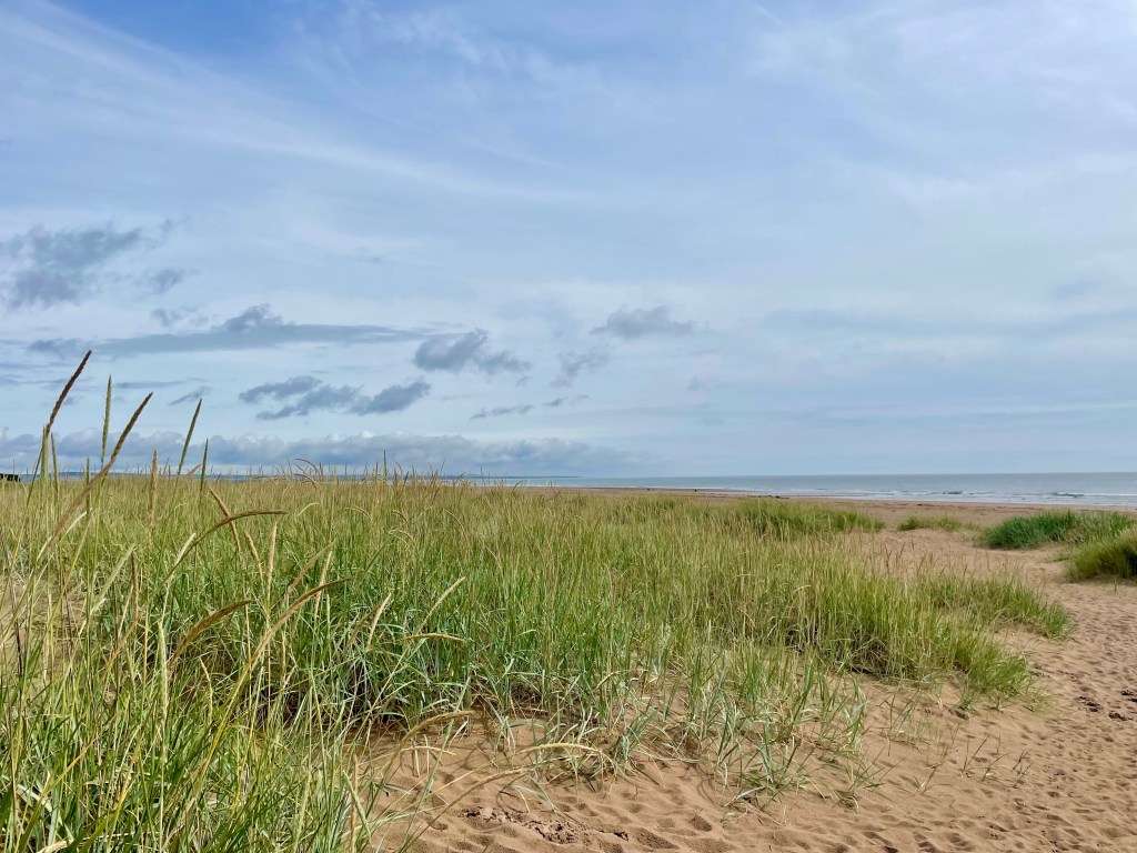
If you haven’t been to Tentsmuir before, I’d heartily recommend a visit. I suspect it’s not particularly well known and it is a tad difficult to access; the road from Leuchars is single track and potholed. But it does repay the effort. Parking is plentiful in the forest area, which has toilets, picnic benches and an excellent cafe with an extensive menu. The beach, which is magnificent, is a five-minute walk through some sand dunes; the whole area gives a great demonstration of coastal geography.
The park is on the cycle route to Newport and there are two main walking trails – a forest path, which we took, and a beach path, the seashell trail.
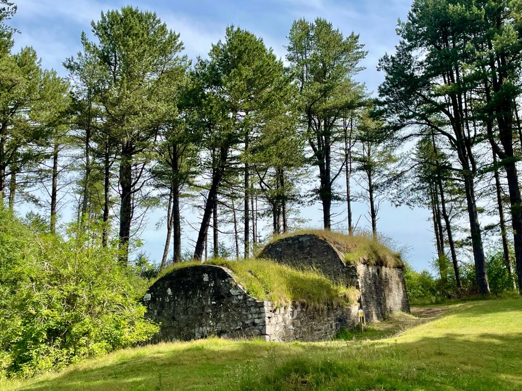
The two paths converge at the icehouse, built from local stone in 1852 and used to preserve salmon before it was shipped.
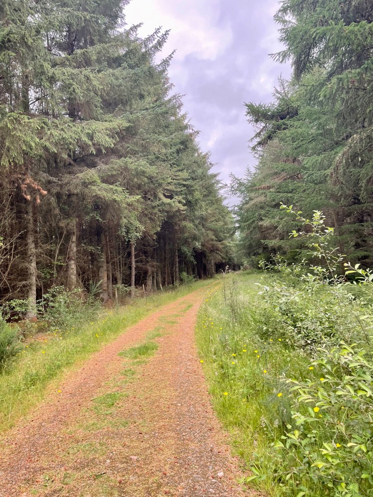
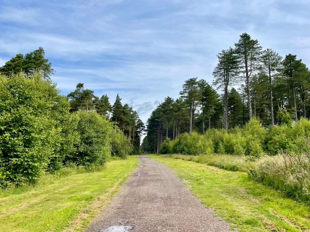
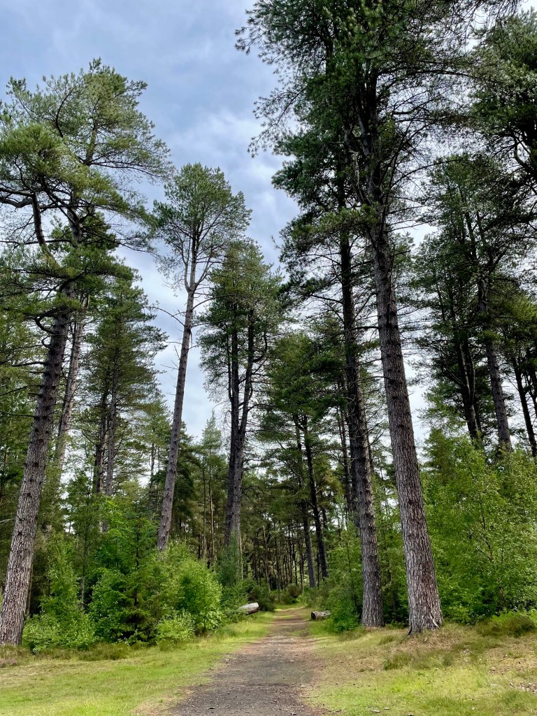
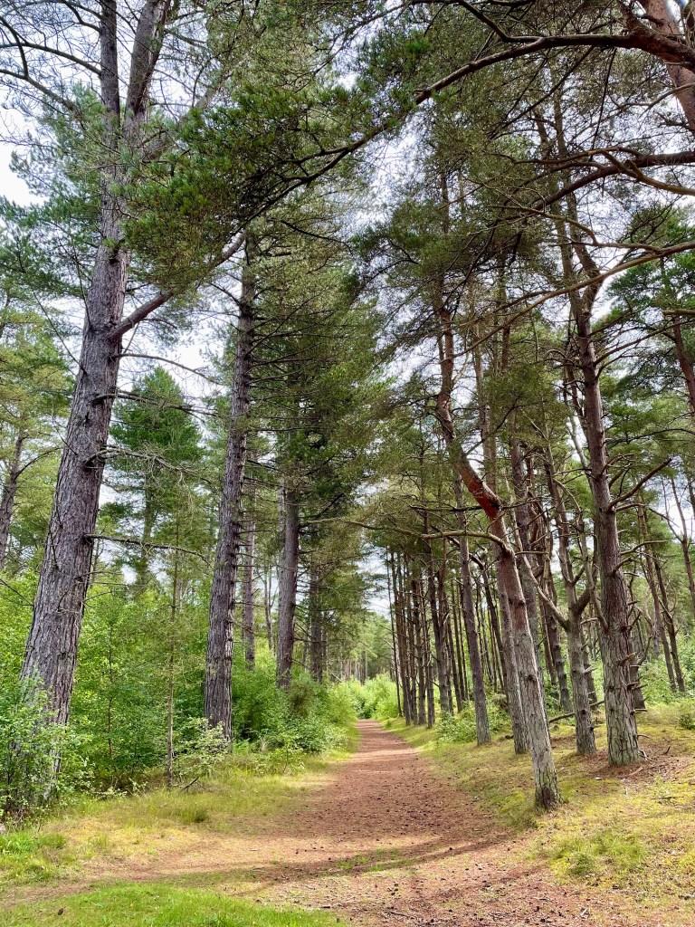
From here, the coastal path shares the cycle route which continues through the forest for 4 miles before emerging at Tayport heath. It’s fine woodland walking (or cycling) with much to commend it.
At one point we thought we were reaching the end of the forest, but in fact it was an area where tree-felling is underway. Although leaving some debris behind, this does at least open up the views somewhat. We had walked miles with no sight of the sea, so it was a pleasant surprise when a diversion of no more than 50 meters to a crest revealed extensive views of the Firth of Tay.
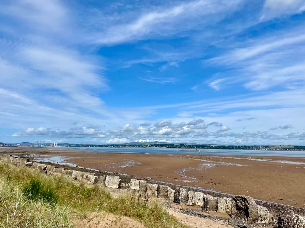
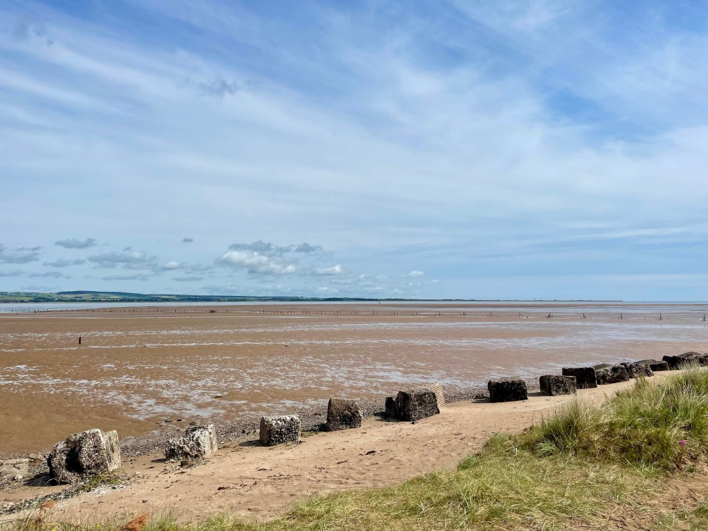
We were pleased to find some picnic benches at the four mile mark, from where there were good views of the Tay estuary.
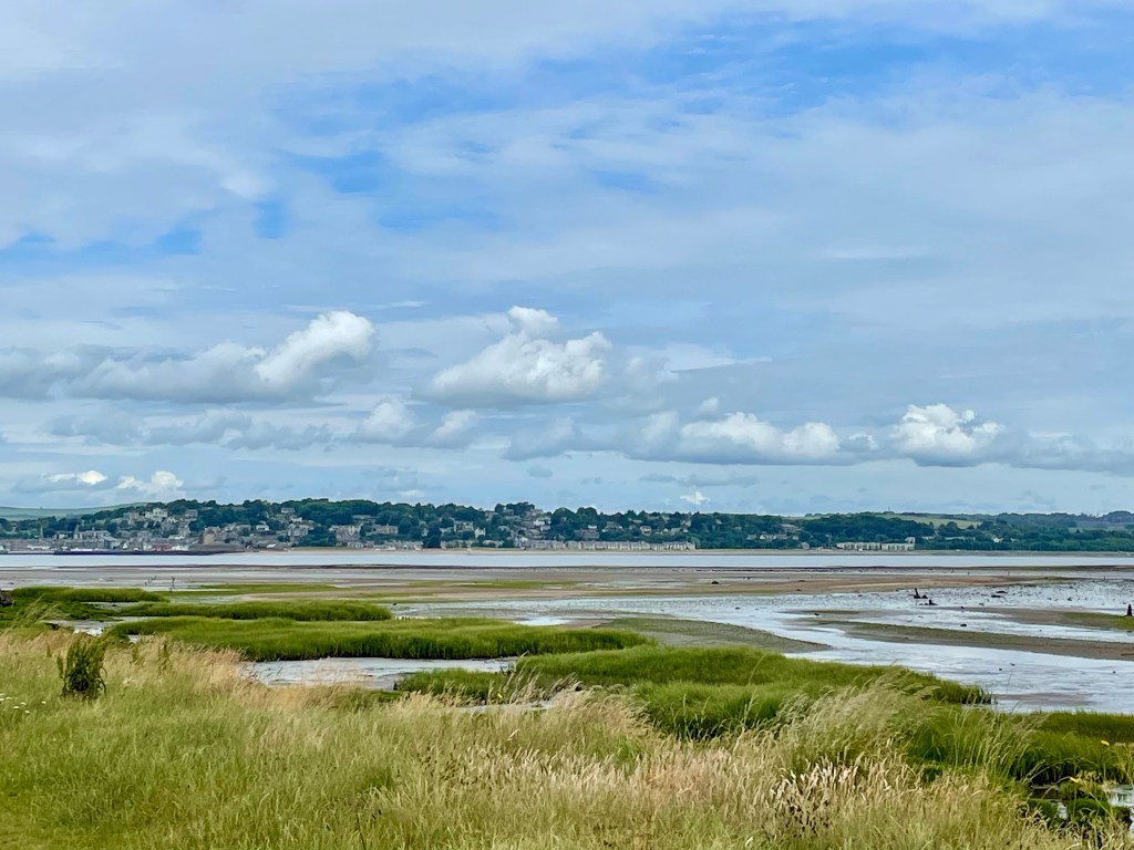
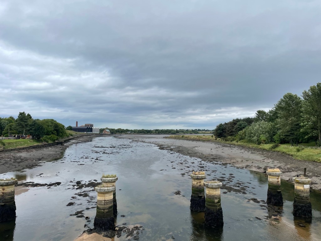
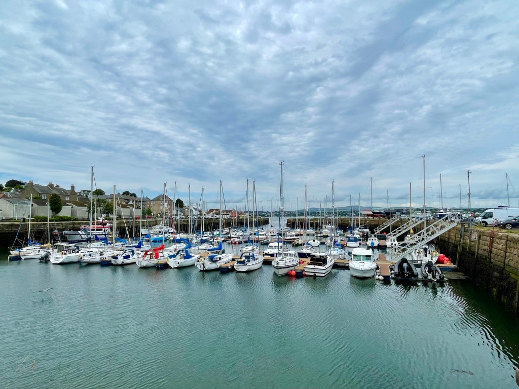
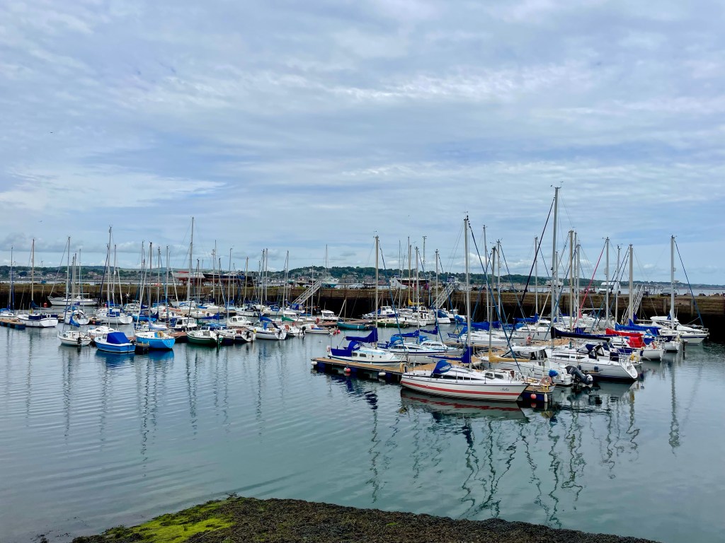
Soon we passed through Tayport holiday park, emerging at the attractive harbour.
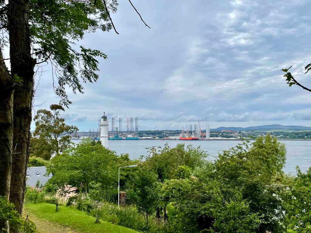
As the path climbed away from the shore, views opened up across to Broughty Ferry castle and Dundee harbour, where both North Sea platforms and wind turbines were visible.

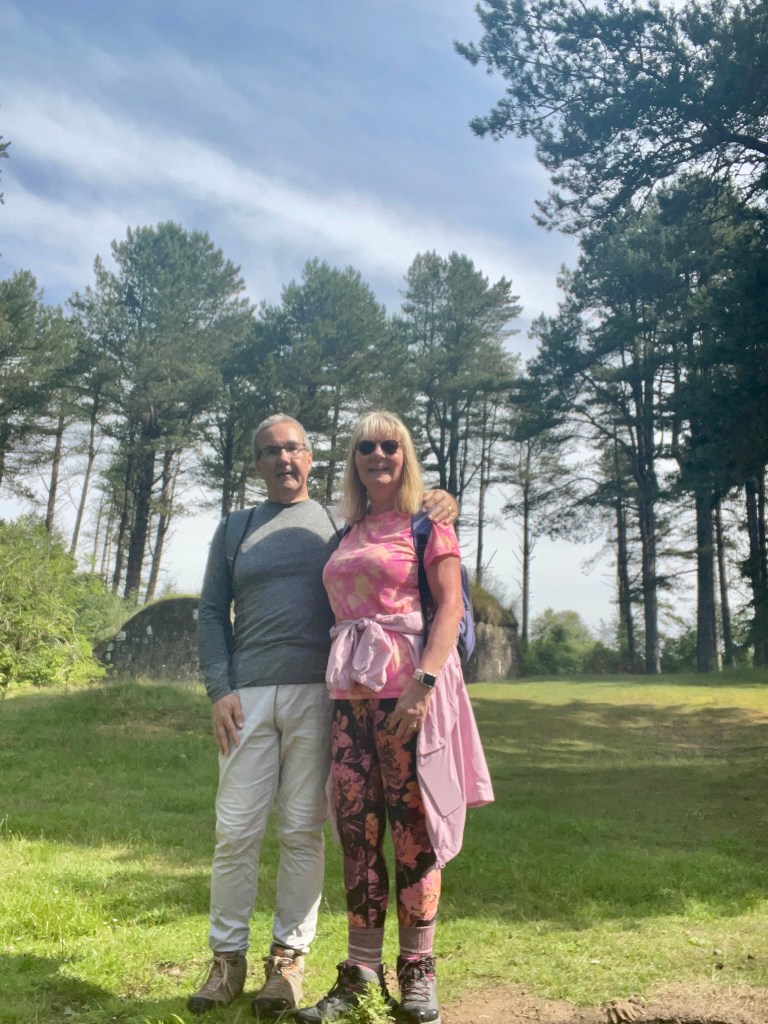
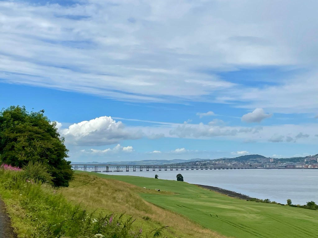
Soon, the Tay Bridge, our elected end point was in sight and then our journey had come to an end. We were delighted to be invited to Alison and Bob’s house for much needed refreshments and a delicious celebration cake, home baked no less!

Some final thoughts
A couple of people have asked me “would you do it again?” and “would you recommend it?”. To be honest, if I had to give a one word answer, it would be ‘no’. But this is a blog, so you really weren’t expecting a one word answer, were you?
Like all good feedback, plus points first. There are some stunning places to visit en route, gems of coastal towns, idyllic beaches and some pretty fine woodland walking too. There’s a definite sense of achievement in completing a distance walk too, with the caveats I’ve already mentioned. And my physical health has most certainly improved with the regular exercise; note to self to keep it going!
In the debit column now. Not all the scenery is pleasant; to be frank, some areas are downtrodden and unattractive. Walking in Scotland at any time of year one is at the mercy of the elements and we had one foul day that any sensible person would have spent indoors. Also, I was frustrated by technology; I was trying to record our walks using my Apple watch but something went wrong every day bar one. Should have been more mindful and just taken the miles from the guidebook probably.
In conclusion, if you live locally I would recommend picking your personal highlights and doing some of the sections which appeal to you. Hopefully I’ve given some pointers you might find useful. If you’re travelling from afar, there is public transport you can use to bypass the tricky or dull days. But if you do decide to invest some time in the Fife Coastal Path then I wish you happy trails!
